| Height: | 268.80+ ft | (81.93+ m) | Elevation: | 6,650 ft (2,027 m) | GPS Latitude: | 36.82429 |
| Volume: | 44,080 ft3 | (1,248 m3) | River: | South Fork Kings River | GPS Longitude: | -118.94885 |
| Width: | 25.43 ft | (7.75 m) | Grove: | Converse Basin Grove | Discovery Date: | 1895 |
| Age: | 2,135 y | Park: | Giant Sequoia NM | Discovered By: | Franklin A. Boole |
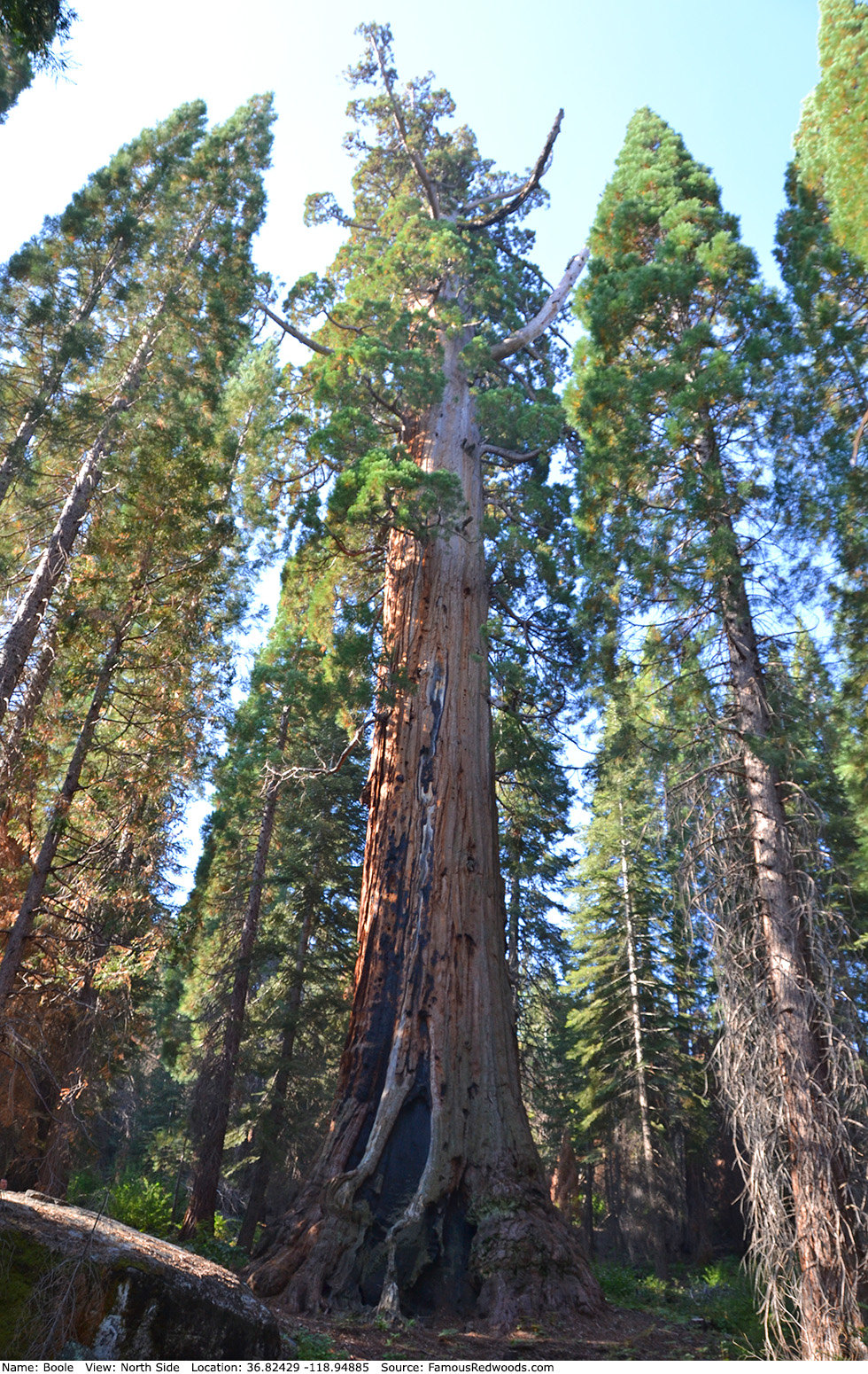
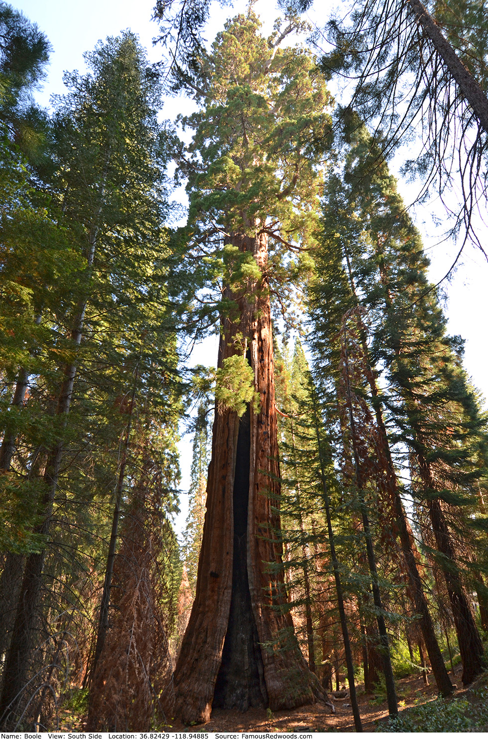
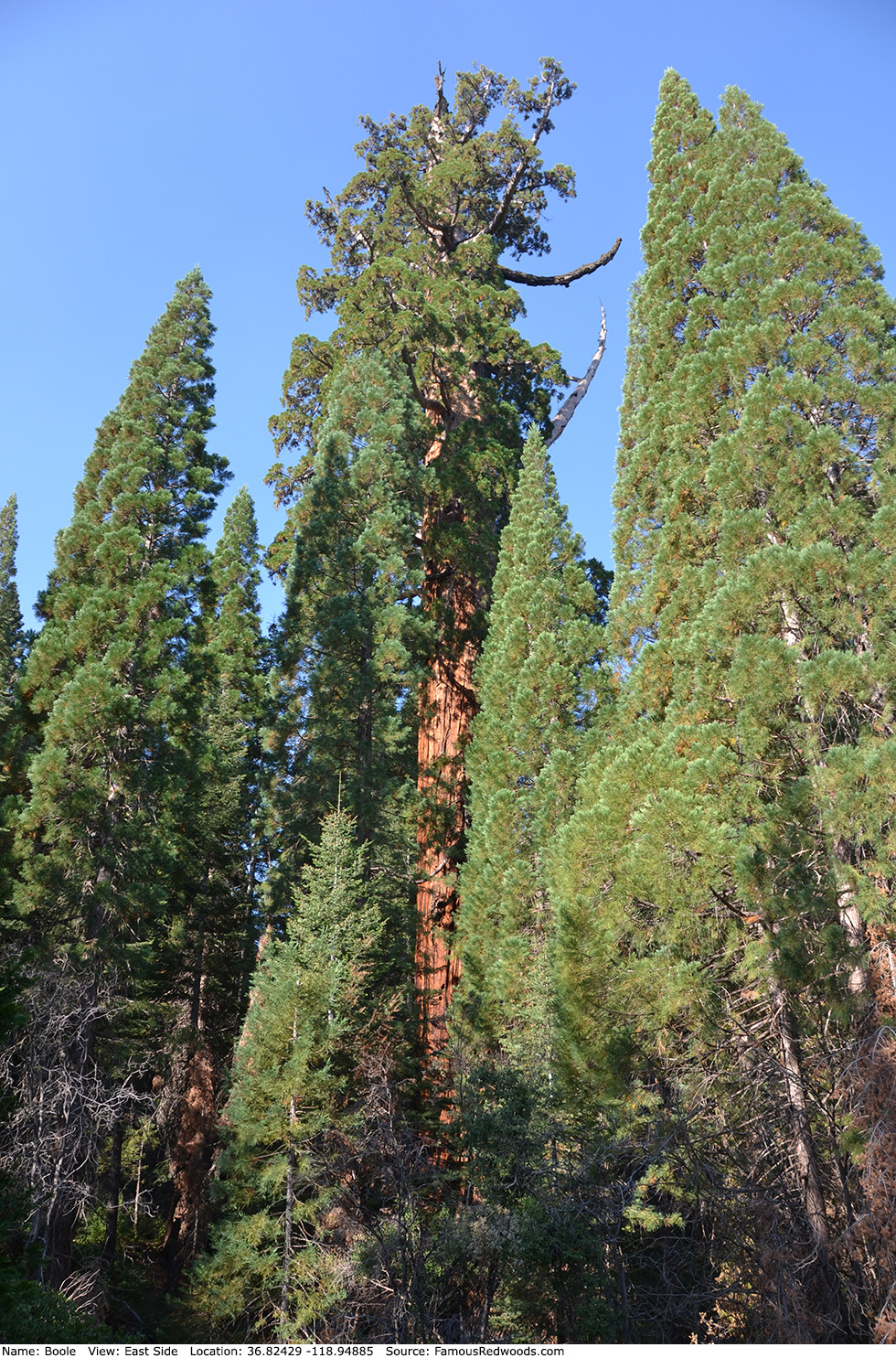
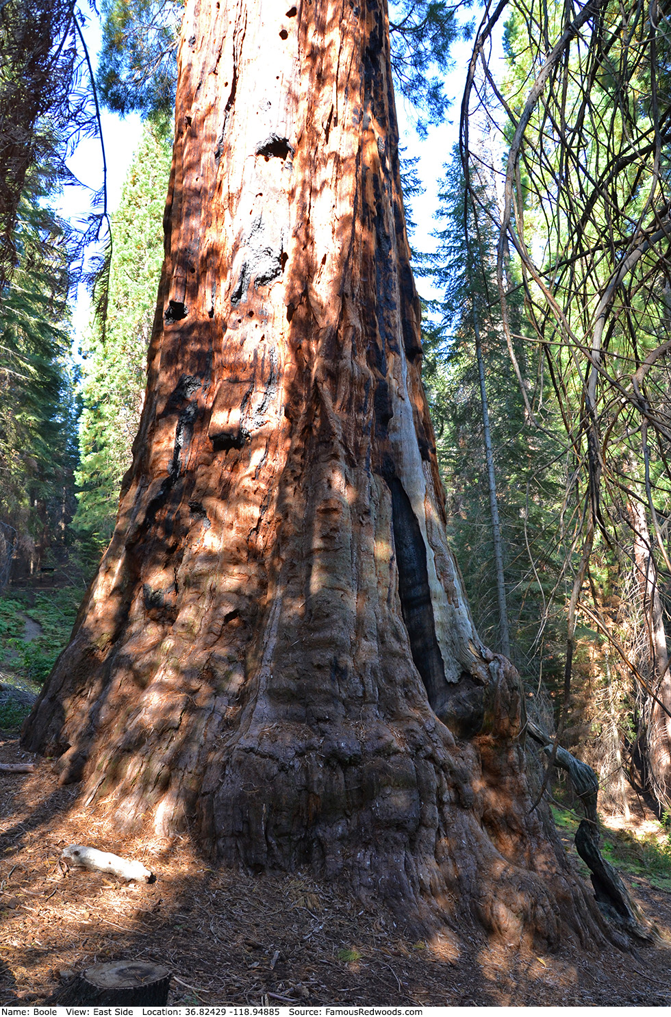
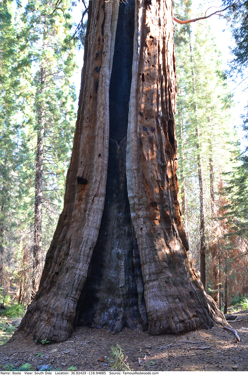
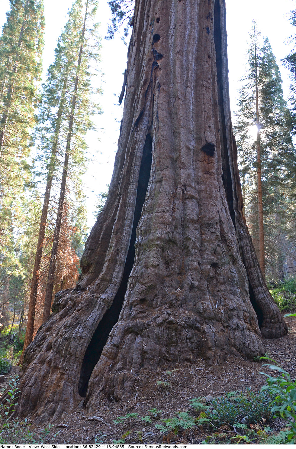
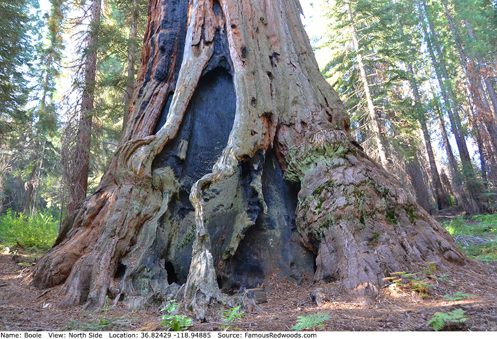
Notes: Boole, also known as Frank Boole Tree, is the world's 7th largest tree, the 6th largest giant redwood, the 2nd largest tree in Giant Sequoia National Monument, the largest tree in Converse Basin Grove, and the redwood with the largest footprint (938 ft2 (87.1 m2)).
In 1895, Fresno physician and health officer A. H. Sweeney named the tree to honor Sanger Lumber Company general manager Franklin A. Boole who reportedly spared the tree from logging due to its enormous size.
Once considered the world's largest tree, Boole was identified as 3rd largest in 1931 when a team of engineers, led by J. W. Jourdan of the San Joaquin Light and Power Corporation, measured the four then-largest-known redwoods (Boole, Hart, General Grant, and General Sherman) and determined that General Sherman was the true size champion. Lincoln, President, and Stagg have since surpassed Boole in volume.
Boole appears on the emblem of Giant Sequoia National Monument.
Boole is directly in the path of the May 3, 2106 total solar eclipse.
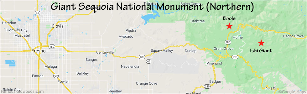
Drive: Boole is 202 mi (325 km) southeast of San Francisco near Fresno.
Northbound: From U.S. Interstate 5 North, transfer to California State Route 99 North toward Bakersfield. Drive north 97 mi (156 km) on California State Route 99 and transfer to California State Route 198 East toward Visalia. Drive east 86 mi (138 m) on California State Route 198, past Four Guardsmen, and turn right onto California State Route 180 East toward General Grant Grove. Drive north 5.7 mi (9.2 km) on California State Route 180 and turn left onto Forest Service Road 13S55.
Southbound: From U.S. Interstate 5 South in Sacramento, transfer to U.S. Highway 50 East toward South Lake Tahoe. Drive east 1.7 mi (2.7 km) on U.S. Highway 50 and transfer to California State Highway 99 South. Near Fresno, transfer to California State Route 180 East. Drive east 62 mi (100 km) on California State Route 180, past General Grant Grove, and turn left onto Forest Service Road 13S55.
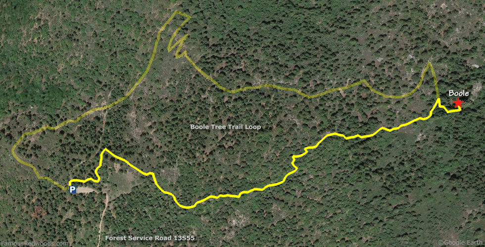
Drive north 2.7 mi (4.3 km) on Forest Service Road 13S55, past Stump Meadow, to the Boole Tree Trail parking lot.
Hike: At the trailhead, veer right onto the southern half of the Boole Tree Trail loop and hike east 0.9 mi (1.4 km), following a tributary of Converse Creek, up and over the saddle northwest of Converse Mountain. Turn right onto a short spur trail, 0.1 mi (0.2 km) past the trail summit, and hike east/downhill 300 ft (91 m) to Boole.
| Rating: | Easy | One-Way Distance: | 0.9 mi | (1.4 km) | Ascent: | 555 ft | (169 m) |
| Time: | 30 min | Off-Trail: | 0 ft | (0 m) | Descent: | 148 ft | (45 m) |
View Boole Tree location in Google Maps
Panoramas: Click panoramas to take a virtual tour of Boole Tree
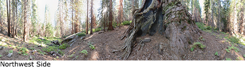
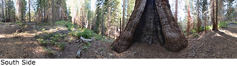
Photos: Pictures of Boole Tree taken from different sides