| Height: | 365.29+ ft | (111.34+ m) | Elevation: | 239 ft (73 m) | GPS Latitude: | 40.35042 |
| Volume: | Creek: | Bull Creek | GPS Longitude: | -123.97257 | ||
| Width: | 11.00 ft | (3.35 m) | Grove: | Calf Creek Flat | Discovery Date: | |
| Age: | Park: | Humboldt Redwoods SP | Discovered By: |
Notes: Aether's Arrow is the world's 22nd tallest tree, the 13th tallest tree in Humboldt Redwoods SP, and the 2nd tallest tree on Calf Creek Flat. Aether's Arrow and Stratosphere Giant are just nine trees apart.
Drive: Aether's Arrow is 196 mi (315 km) north of San Francisco near the community of Weott.
Northbound: From U.S. Highway 101 just north of Weott, take exit 663 South Fork Honeydew and turn left onto California State Route 254 (Avenue of the Giants). Drive north 0.2 mi (0.3 km) on California State Route 254 (Avenue of the Giants) and turn left, under the bridge, onto Mattole Road.
Southbound: From U.S. Highway 101 just north of Weott, take exit 663 South Fork Honeydew and turn right onto Mattole Road.
Drive west 3.5 mi (5.6 km) on Mattole Road, past Calf Creek, and park at a turnout on the left/south side of the road near 40.35248 -123.97828.
Hike: GPS-assisted navigation is recommended for this hike. From the turnout, walk west 100 ft (30 m) on Mattole Road to the trailhead on the left/south side of the road. Hike south 0.5 mi (0.8 km) on Bull Creek Flats Trail North, under a fallen tree, to the trail exit point near a tree with an oval burn scar on your right. Turn left here and hike north 150 ft (46 m) off-trail on an old, unpaved road which curves gently left/west. Veer left/north where the road turns right/east and, using a GPS device, hike north another 150 ft (46 m) off-trail to Aether's Arrow. After visiting Aether's Arrow, hike west 0.1 mi (0.2 km) off-trail to Stratosphere Giant then hike northwest another 0.1 mi (0.2 km) off-trail to Idril.
| Rating: | Easy | One-Way Distance: | 0.7 mi | (1.1 km) | Ascent: | 22 ft | (7 m) |
| Time: | 10 min | Off-Trail: | 312 ft | (95 m) | Descent: | 63 ft | (19 m) |
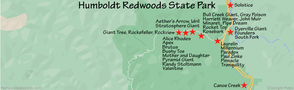
View Aether's Arrow Tree location in Google Maps
Panorama: Click panorama to take a virtual tour of Aether's Arrow Tree
Photos: Pictures of Aether's Arrow Tree taken from different sides