| Height: | 290.03+ ft | (88.40+ m) | Elevation: | 180 ft (55 m) | GPS Latitude: | 41.36686 |
| Volume: | 11,375 ft3 | (322 m m3) | Creek: | Boyes Creek | GPS Longitude: | -124.01695 |
| Width: | 13.94 ft | (4.25 m) | Grove: | Atlas Grove | Discovery Date: | 1991 |
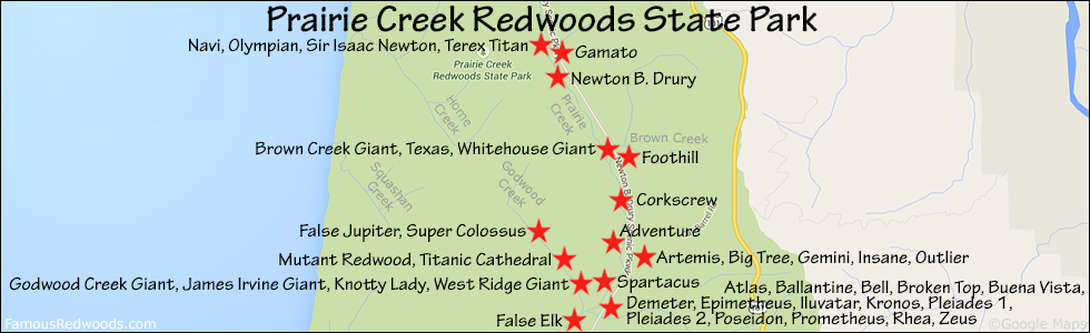
| Age: | Park: | Prairie Creek Redwoods SP | Discovered By: | Michael W. Taylor |
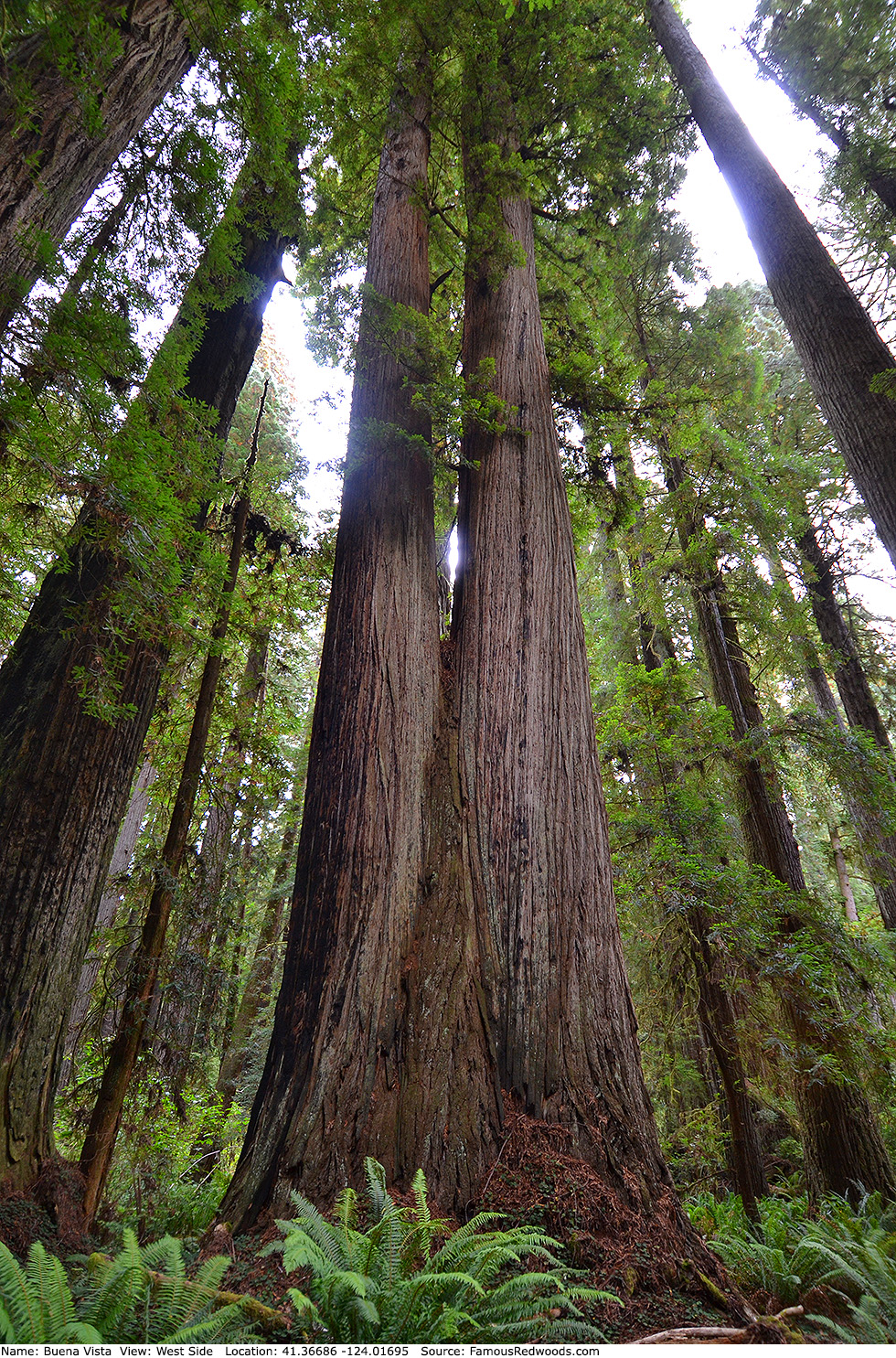
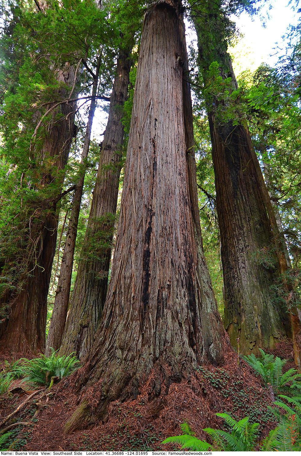
Notes: Buena Vista is the 14th largest tree in
Atlas Grove. Cal Poly Humboldt forestry professor Stephen C. Sillett named the tree Buena Vista, spanish for good view,
because it provides a good view of
Iluvatar. As documented in the
National Geographic Explorer program Climbing Redwood Giants, photographers hoisted cameras
into the canopy of Buena Vista to create the composite photograph of
Iluvatar published in the
October 2009 issue of National Geographic magazine.
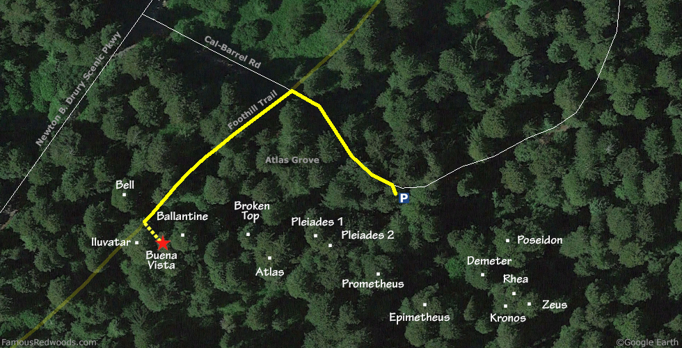
Drive: Buena Vista is 262 mi (422 km) north of San Francisco near the community of Orick.
From U.S. Highway 101 just north of Orick, take exit 753 Newton B. Drury Scenic Parkway. Drive north 1.5 mi (2.4 km) on Newton B. Drury Scenic Parkway to Cal-Barrel Road. Turn right onto Cal-Barrel Road, drive east 650 ft (198 m), and park just before the road turns left through a gate.
Hike: From the parking area walk northwest on Cal-Barrel Road toward Newton B. Drury Scenic Parkway and Foothill Trail which crosses Cal-Barrel Road. Turn left at the Foothill Trail sign and hike southwest 450 ft (137 m) on Foothill Trail, past the Rotary Memorial Grove marker on your left. Buena Vista stands 65 ft (20 m) off-trail to your left.
| Rating: | Easy | One-Way Distance: | 800 ft | (244 m) | Ascent: | 0 ft | (0 m) |
| Time: | 5 min | Off-Trail: | 65 ft | (20 m) | Descent: | 0 ft | (0 m) |
View Buena Vista Tree location in Google Maps
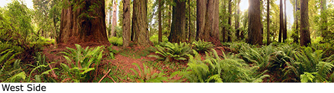
Panorama: Click panorama to take a virtual tour of Buena Vista Tree
Photos: Pictures of Buena Vista Tree taken from different sides