Notes: Giant Sequoia National Monument was established on April 15, 2000 when President William J. Clinton signed Proclamation 7295 beside Proclamation on Trail of 100 Giants in Long Meadow Grove to protect 41 federally-owned giant redwood groves, several limestone caverns, paleontological resources, Native American archaeological sites, and historic remnants of early Euro-American settlement within 513 mi2 (1329 km2) of Sequoia National Forest.
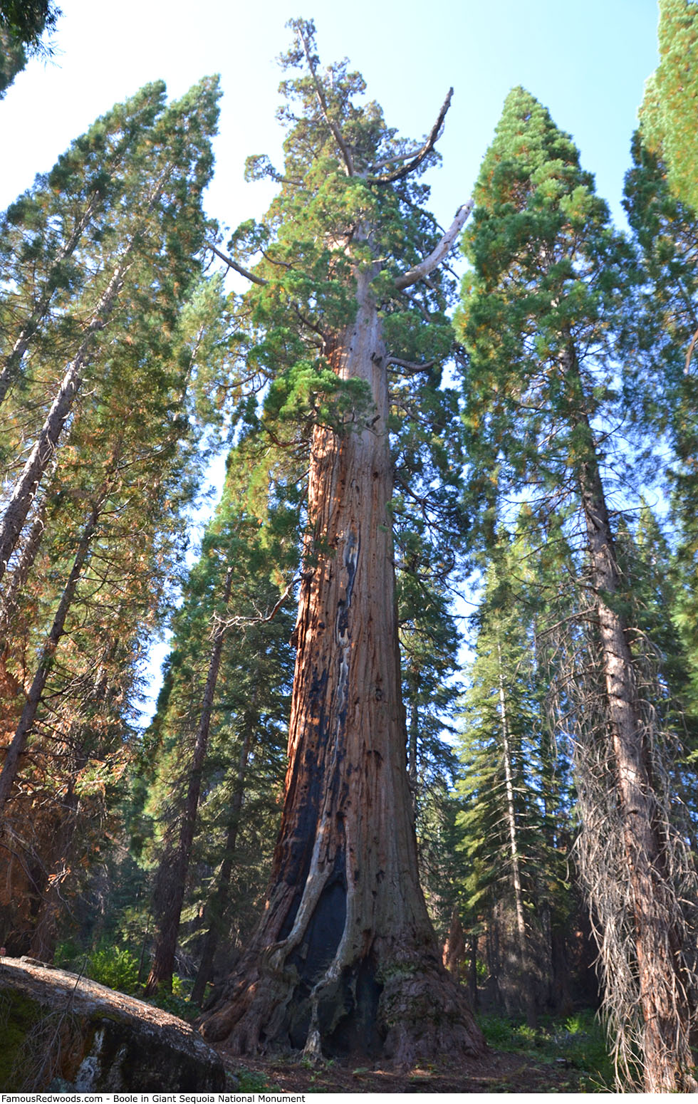
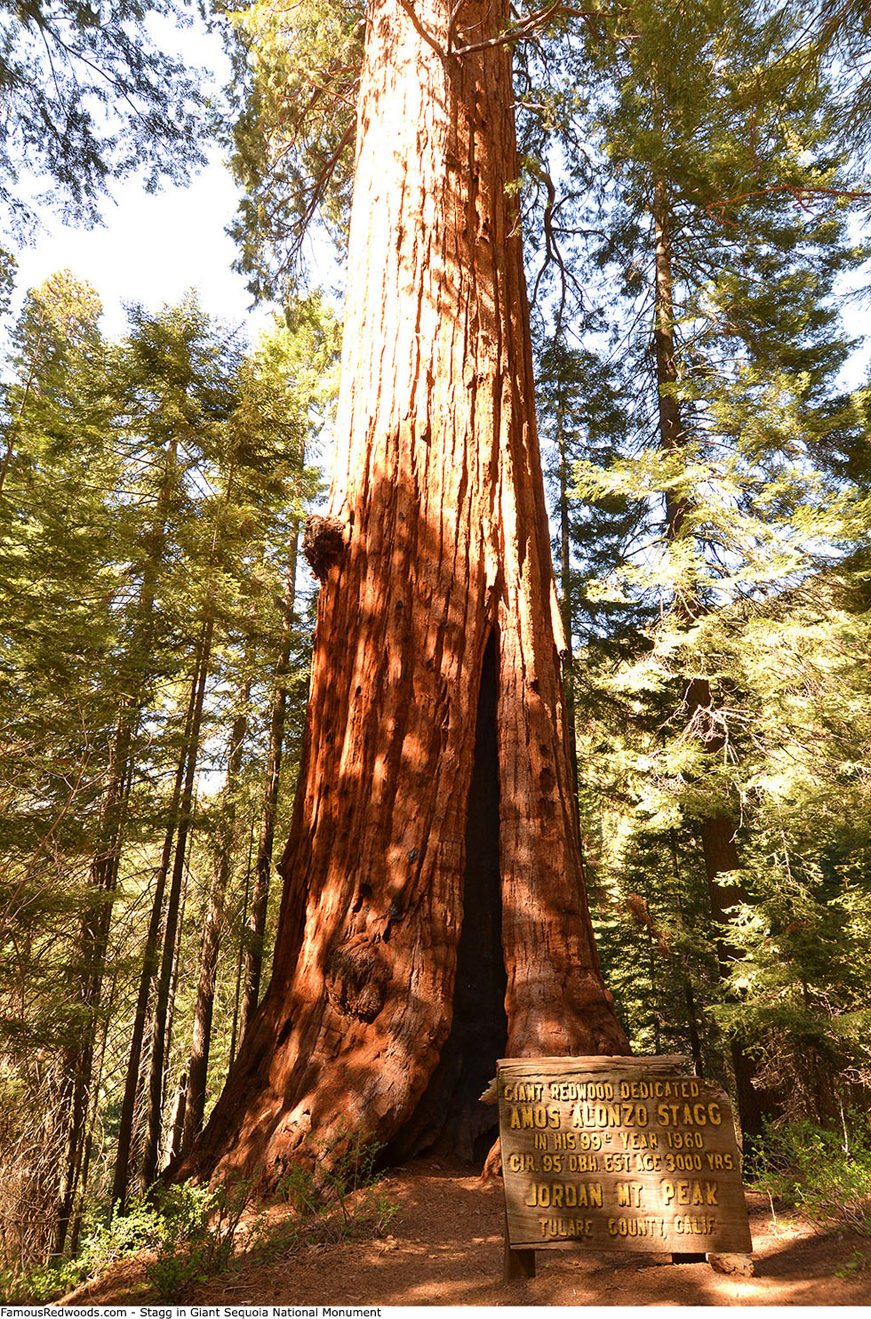
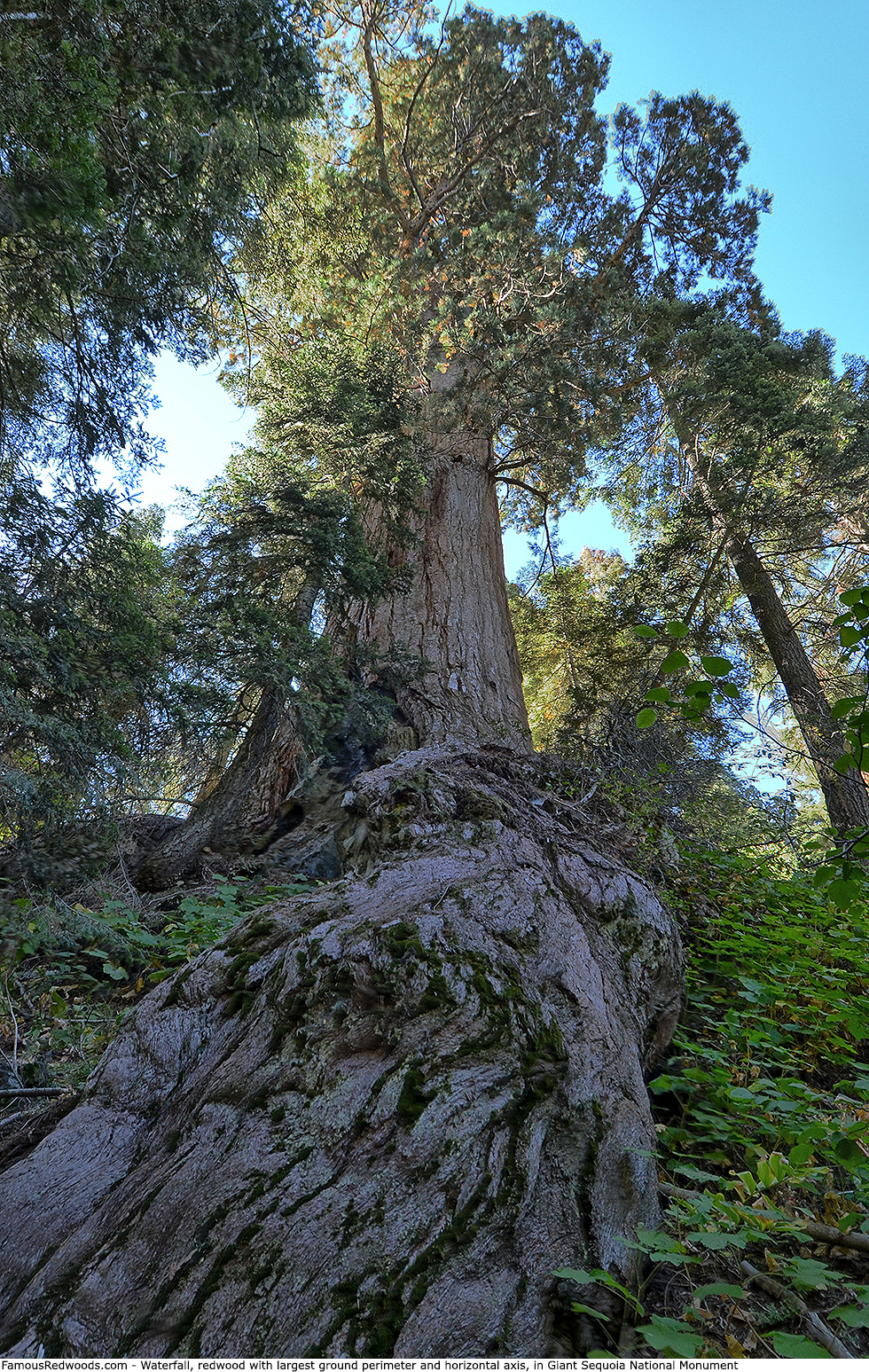
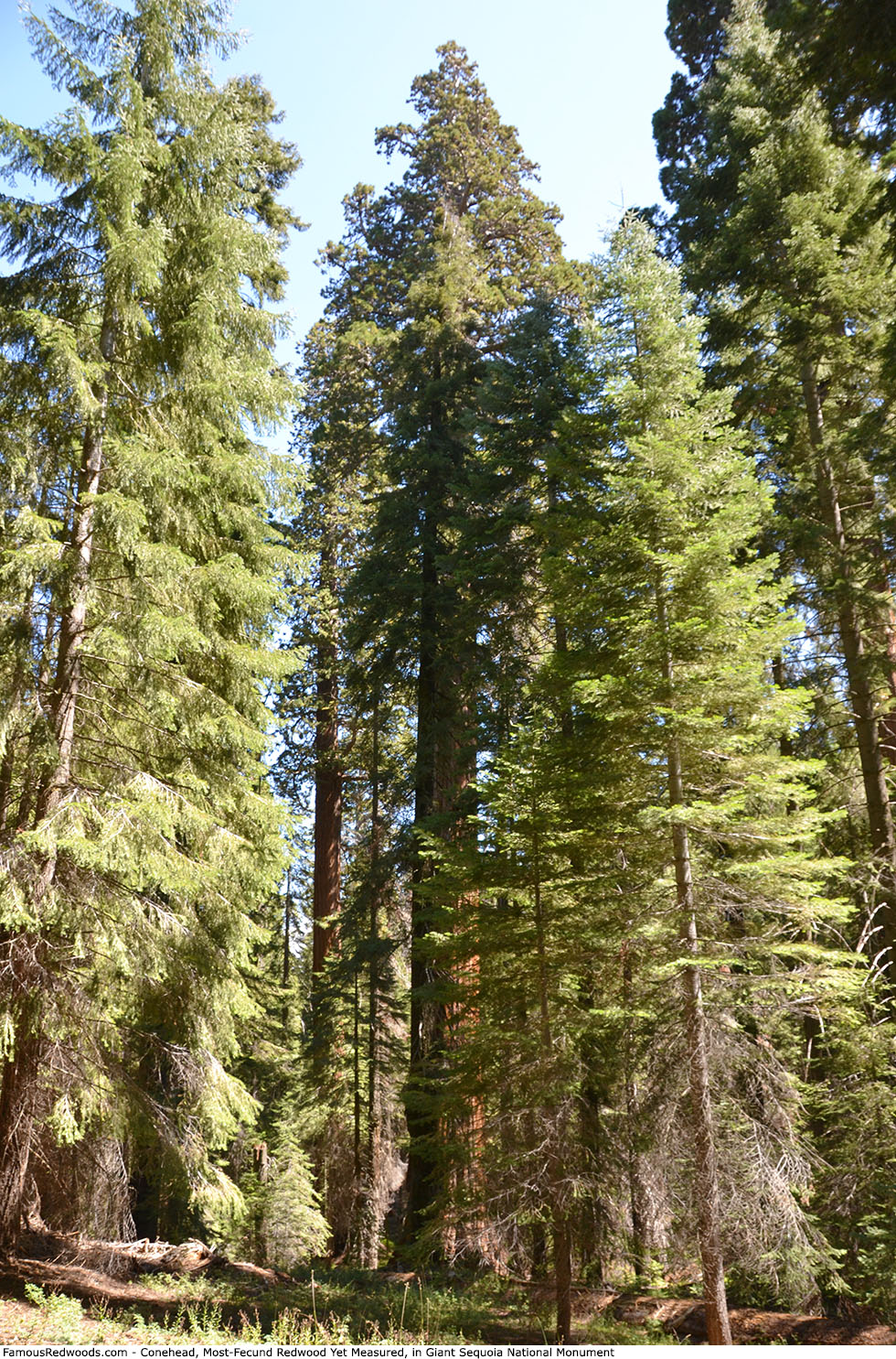
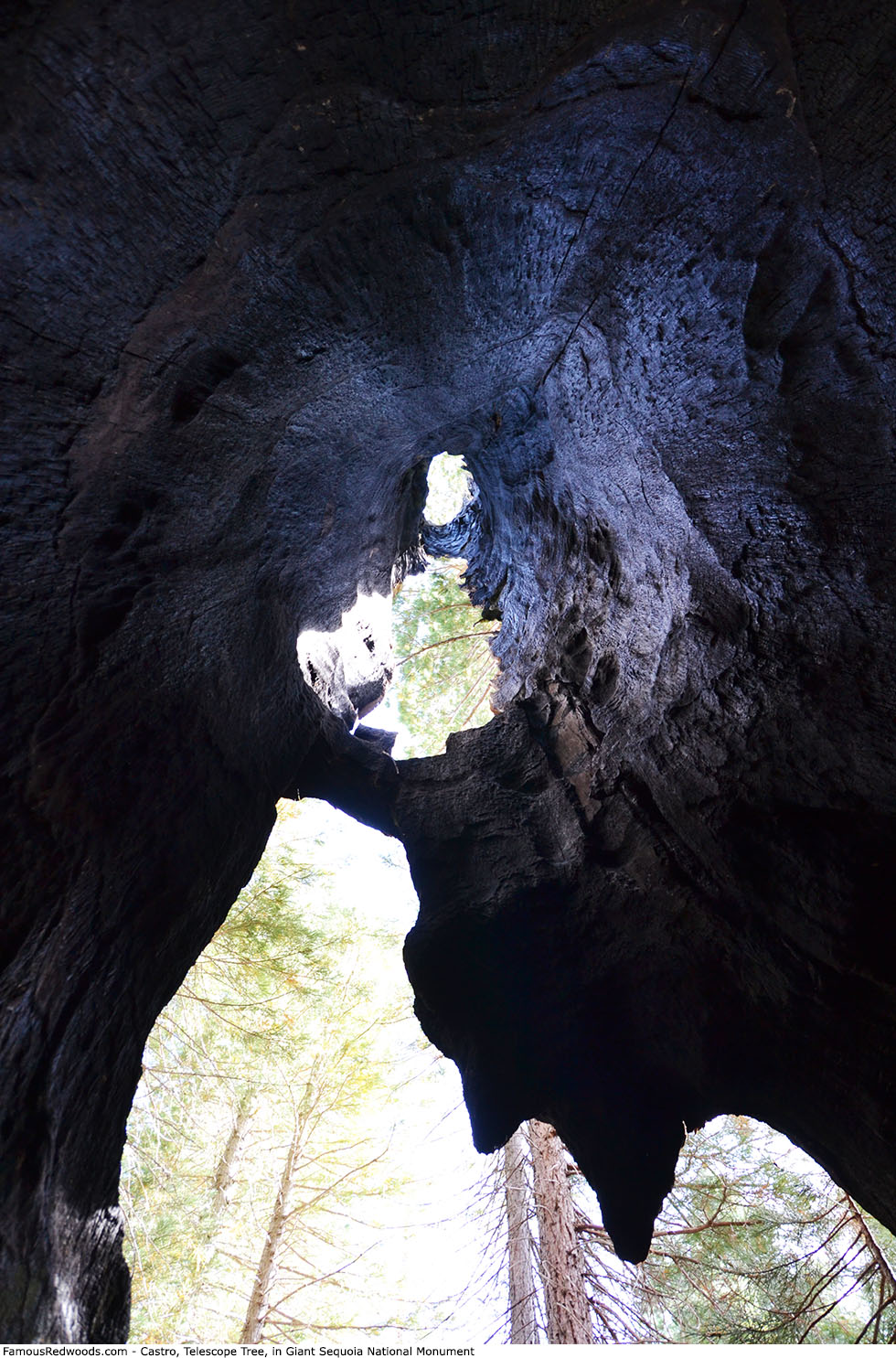
Giant Sequoia National Monument includes the redwood with the largest ground perimeter and horizontal axis (Waterfall), the redwood with the largest footprint (Boole), the redwood with the most cones yet measured (Conehead), one of the most-impressive telescope trees ever discovered (Castro), 2 of the 10 largest trees on Earth (Boole and Stagg), and 7 of the 30 largest giant redwoods (Adam, Alder Creek Giant, Boole, Euclid, Genesis, Red Hill Giant, and Stagg). The monument contains 51 trees larger than 25,000 ft3 (708 m3), 17 trees larger than 30,000 ft3 (850 m3), 5 trees larger than 35,000 ft3 (991 m3), and 2 trees larger than 40,000 ft3 (1,133 m3).
Stagg is the largest tree in Giant Sequoia National Monument.
Giant Sequoia National Monument is directly in the path of the May 3, 2106 total solar eclipse.
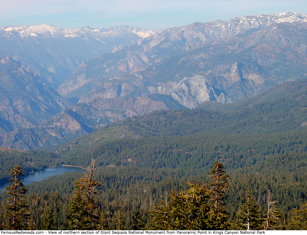
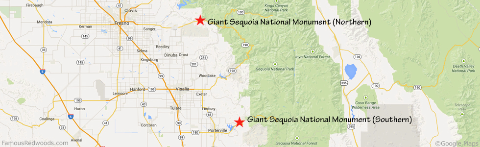
Giant Sequoia National Monument includes a northern section, in the Hume Lake Ranger District of Sequoia National Forest, and a southern section, in the Western Divide Ranger District of Sequoia National Forest, which are separated by Kings Canyon National Park and Sequoia National Park.
The northern section of Giant Sequoia National Monument includes 17 giant redwood groves:
|
|
|
|
The southern section of Giant Sequoia National Monument includes 24 giant redwood groves:
|
|
|
|
Giant Sequoia National Monument includes the following giant redwoods:
|
|
|
|
Visit fs.usda.gov for seasonal hours and more information.
Drive (Northern Monument): The Hume Lake Ranger District headquarters is located at 35860 California State Route 180 East (East Kings Canyon Road) in Dunlap, California 193 mi (311 km) southeast of San Francisco.
Northbound: From U.S. Interstate 5 North, transfer to California State Route 99 North toward Bakersfield. Drive north 99 mi (159 km) on California State Route 99 to Goshen. Take exit 98 Betty Drive and turn right onto Betty Drive. Drive east 2 mi (3 km) on Betty Drive and turn left onto County Route J19 (North Plaza Drive). Drive north 9 mi (14 km) on County Route J19 (North Plaza Drive) and turn right onto County Route J38 (Avenue 384). Drive east 5 mi (8 km) on County Route J38 (Avenue 384) and turn left onto Road 120 (Hill Valley Road). Drive north 9 mi (14 km) on Road 120 (Hill Valley Road) to Orange Cove and continue straight onto California State Route 63 North. Drive north 8 mi (13 km) on California State Route 63 and turn right onto California State Route 180 East. Drive East 2 mi (3 km) on California State Route 180 East to Squaw Valley.
Southbound: From U.S. Interstate 5 South in Sacramento, transfer to U.S. Highway 50 East toward South Lake Tahoe. Drive east 1.7 mi (2.7 km) on U.S. Highway 50 and transfer to California State Highway 99 South. Near Fresno, transfer to California State Route 180 East. Drive east 33 mi (53 km) on California State Route 180 to Squaw Valley.
From Squaw Valley, drive east X mi (X km) on California State Route 180 East and turn left into the Hume Lake Ranger Disctrict headquarters parking lot.
Drive (Southern Monument): The Western Divide Ranger District headquarters is located at 32588 California State Route 190 East in Springville, California 229 mi (369 km) southeast of San Francisco.
Northbound: From U.S. Interstate 5 North, transfer to California State Route 99 North. From California State Route 99 North just north of Bakersfield, transfer to California State Route 65 North toward Porterville. Near Porterville, transfer to California State Route 190 East.
Southbound: From U.S. Interstate 5 South in Sacramento, transfer to U.S. Highway 50 East toward South Lake Tahoe. Drive east 1.7 mi (2.7 km) on U.S. Highway 50 and transfer to California State Highway 99 South. Near Tipton, transfer to California State Route 190 East toward Porterville.
From Porterville, drive east 13 mi (21 km) on California State Route 190 East toward Springville and turn left into the Western Divide Ranger District headquarters parking lot.
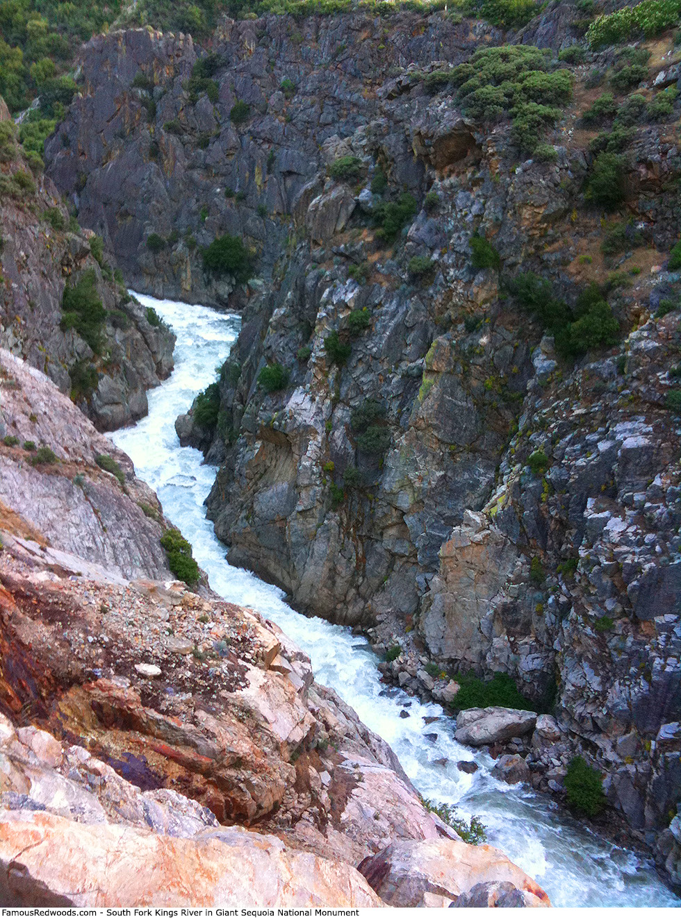
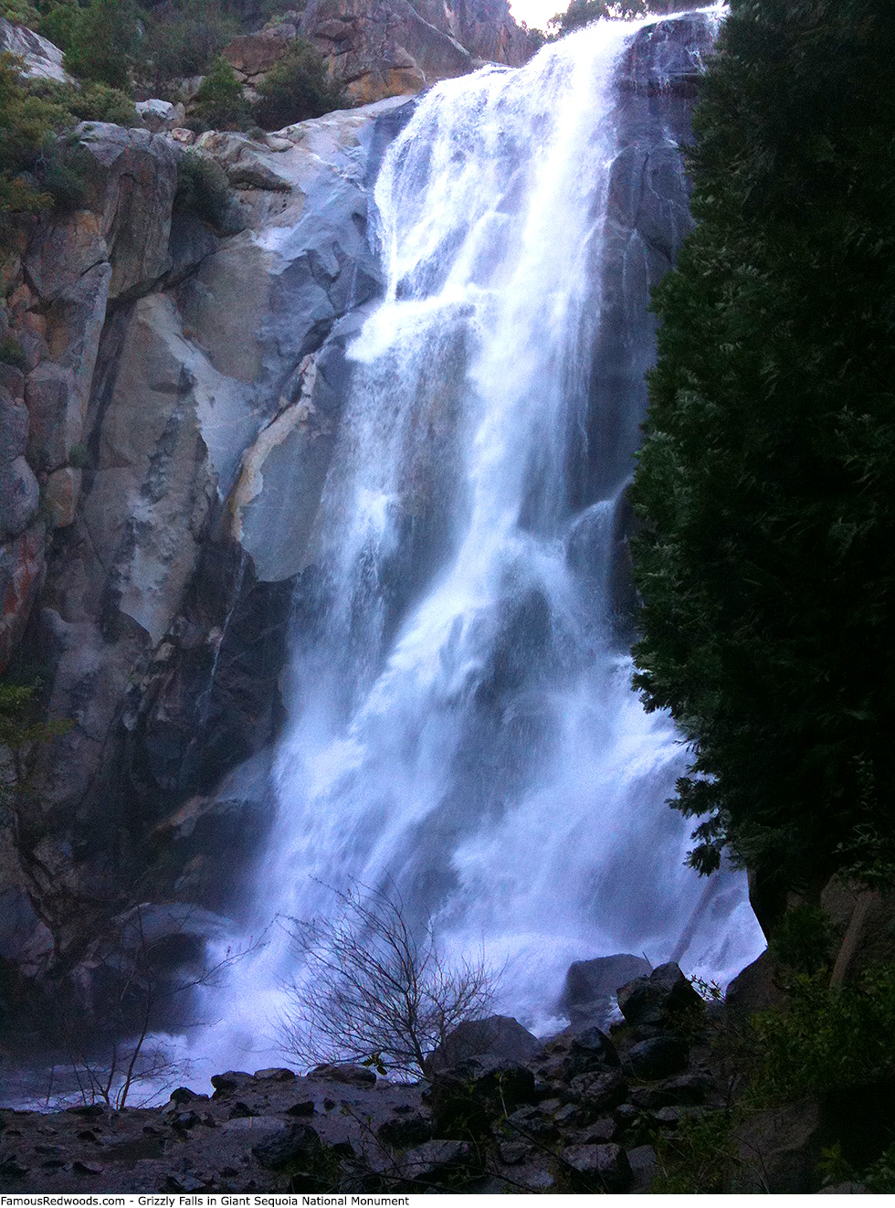
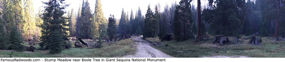
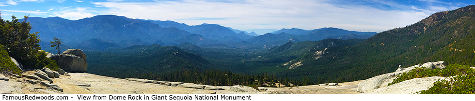
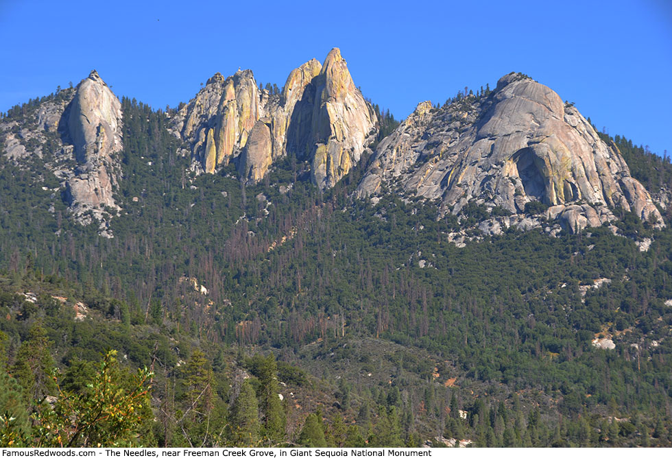
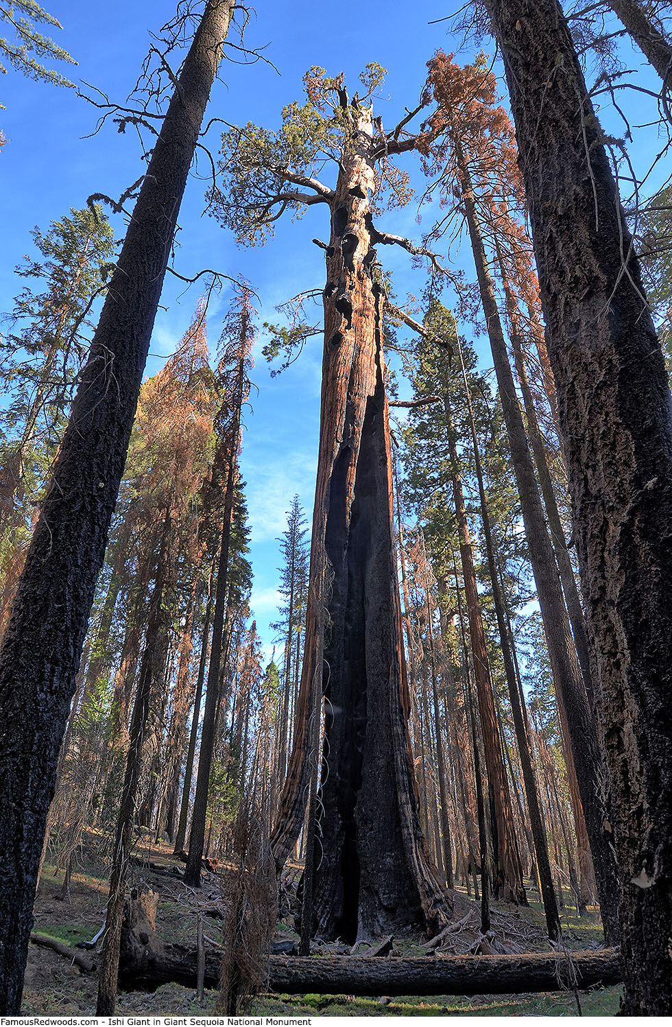
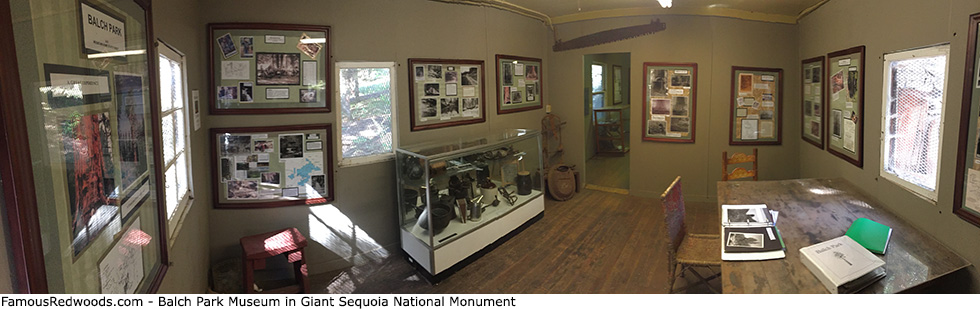
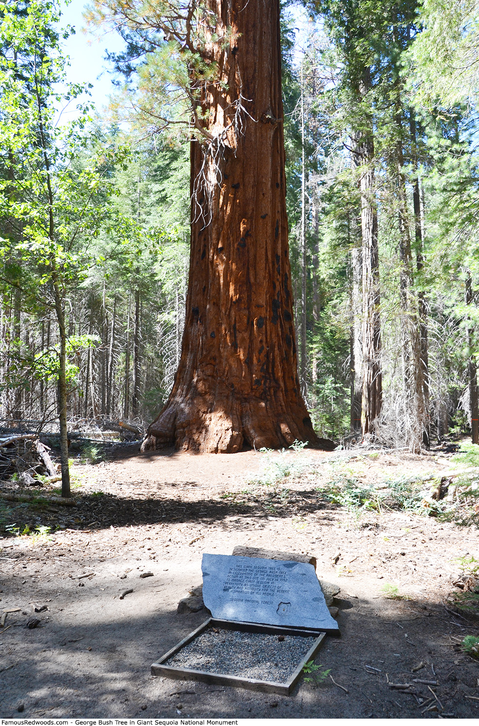
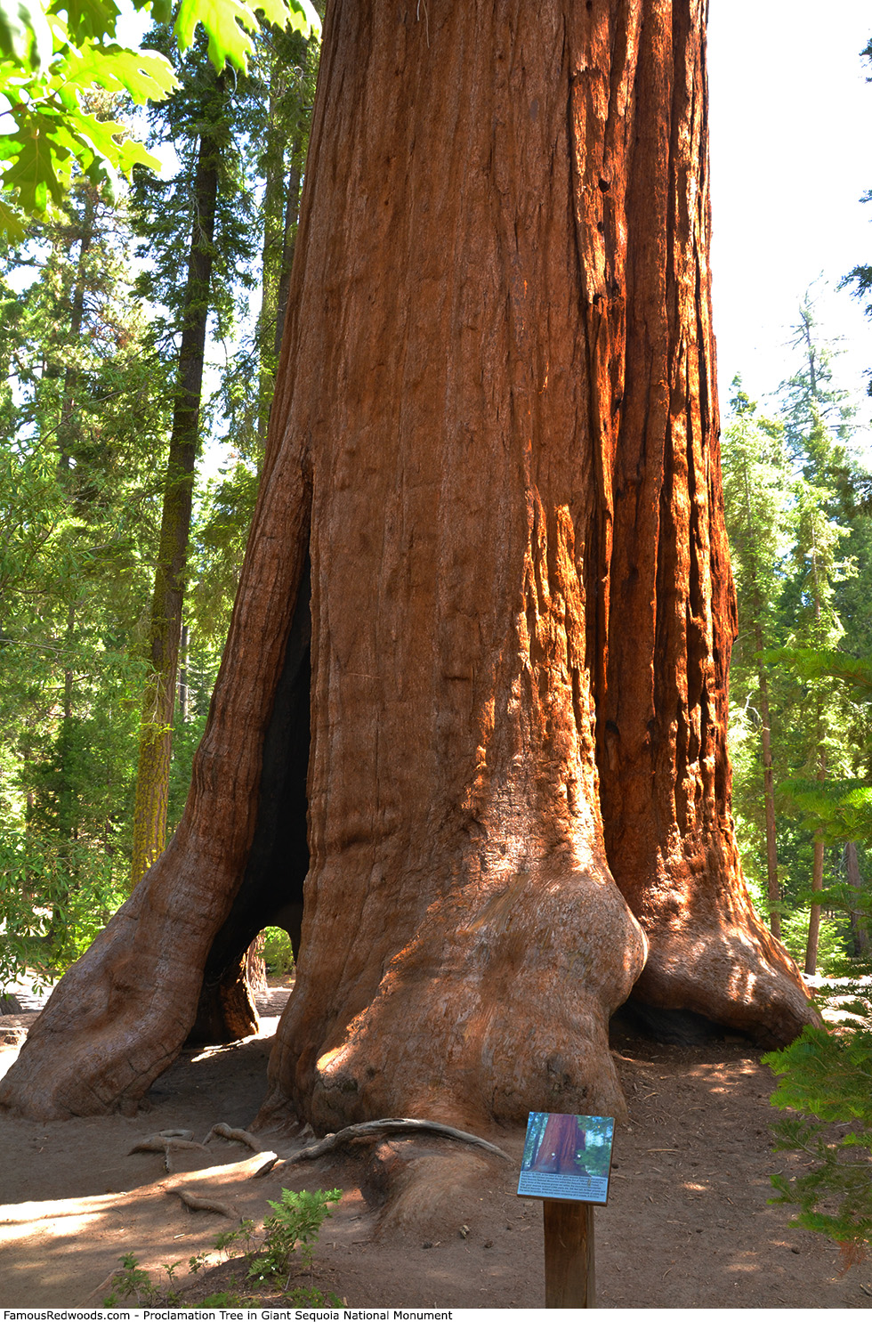
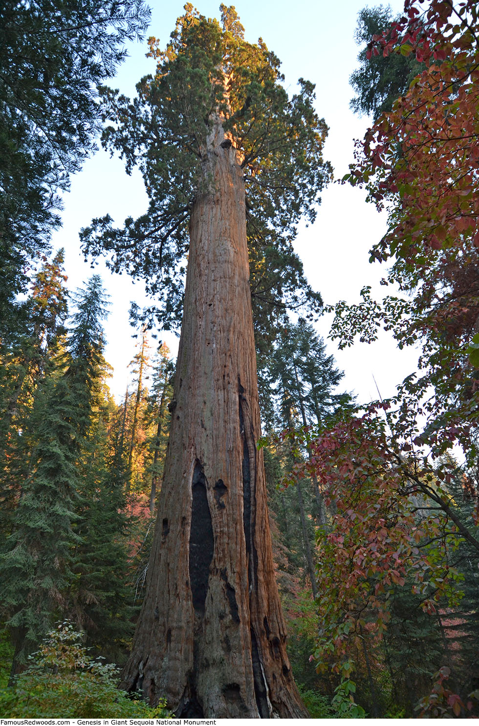
Photos: Pictures of Giant Sequoia National Monument