| Height: | 344.59+ ft | (105.03+ m) | Elevation: | 122 ft (37 m) | GPS Latitude: | 41.21117 |
| Volume: | Creek: | Redwood Creek | GPS Longitude: | -124.01062 | ||
| Width: | 15.72 ft | (4.79 m) | Grove: | Tall Trees Grove | Discovery Date: | |
| Age: | Park: | Redwood NP | Discovered By: |
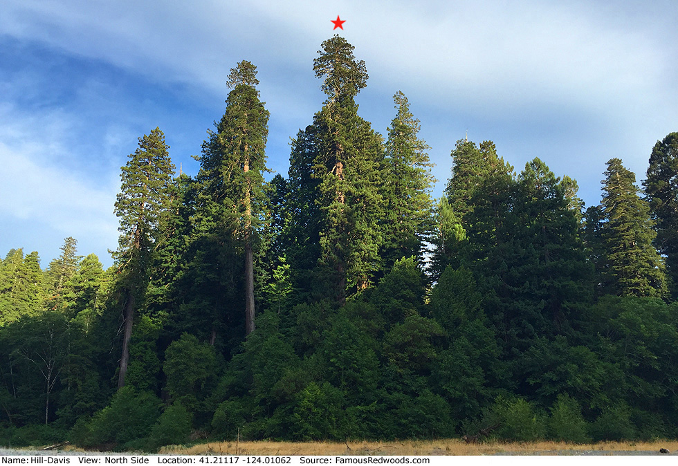
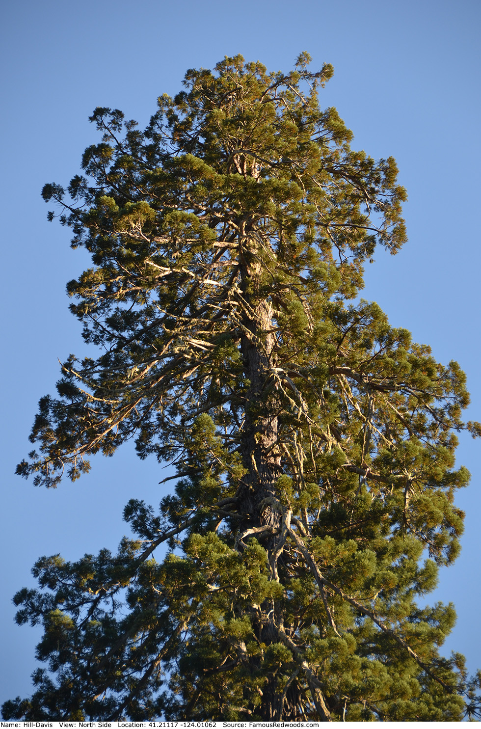
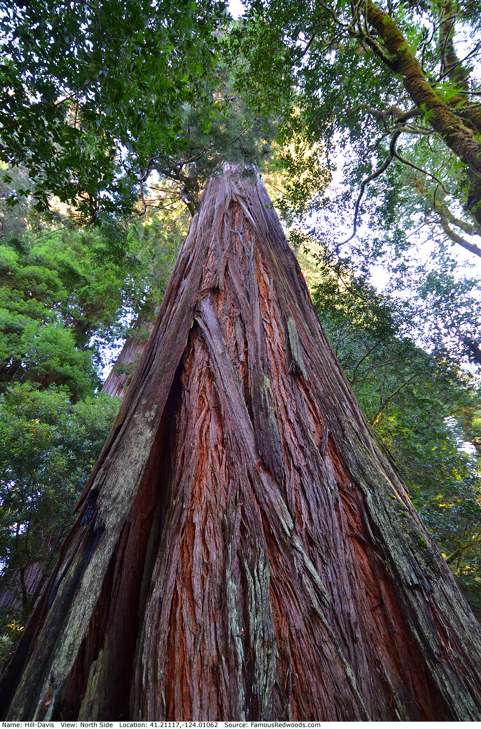
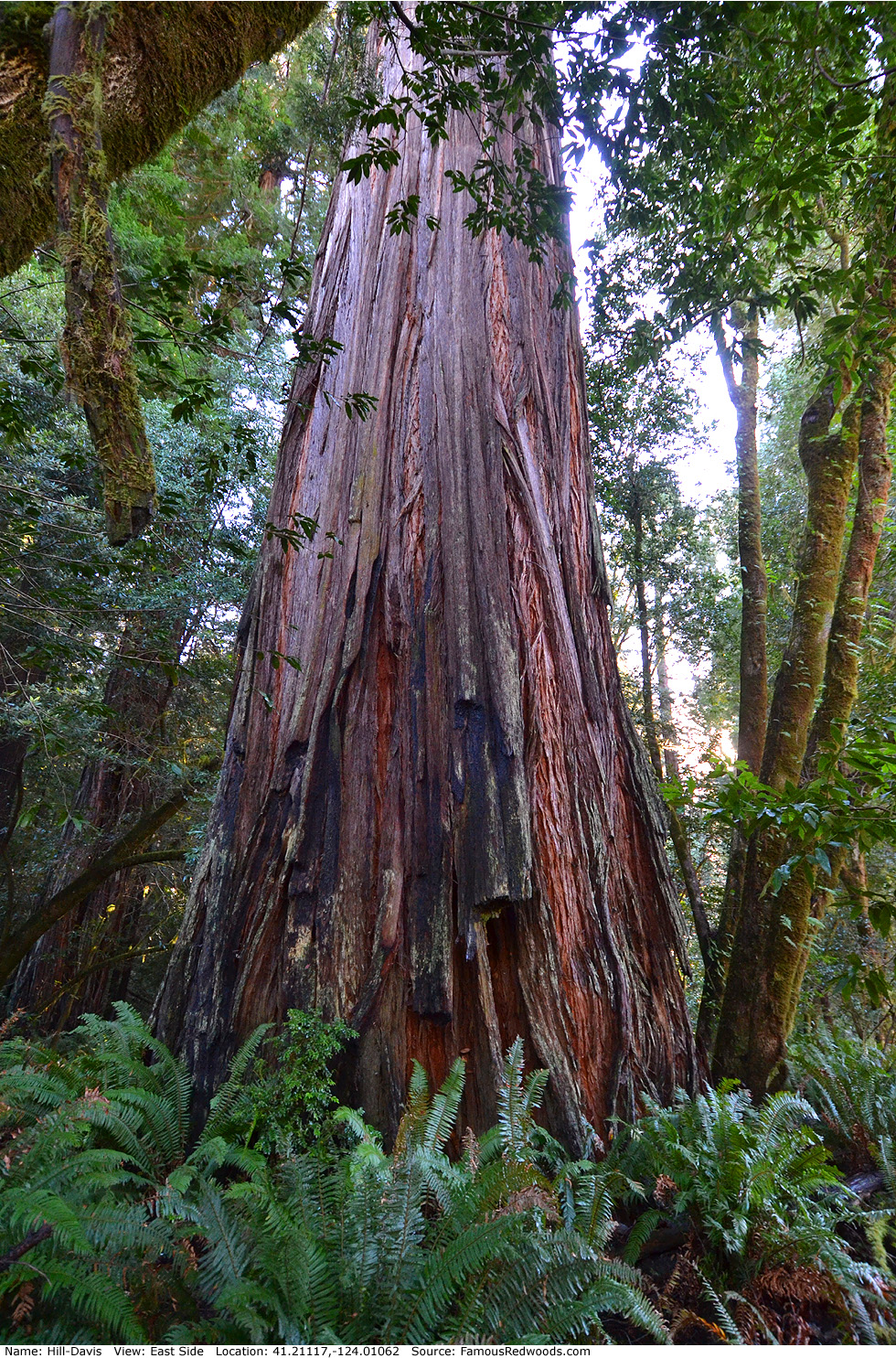
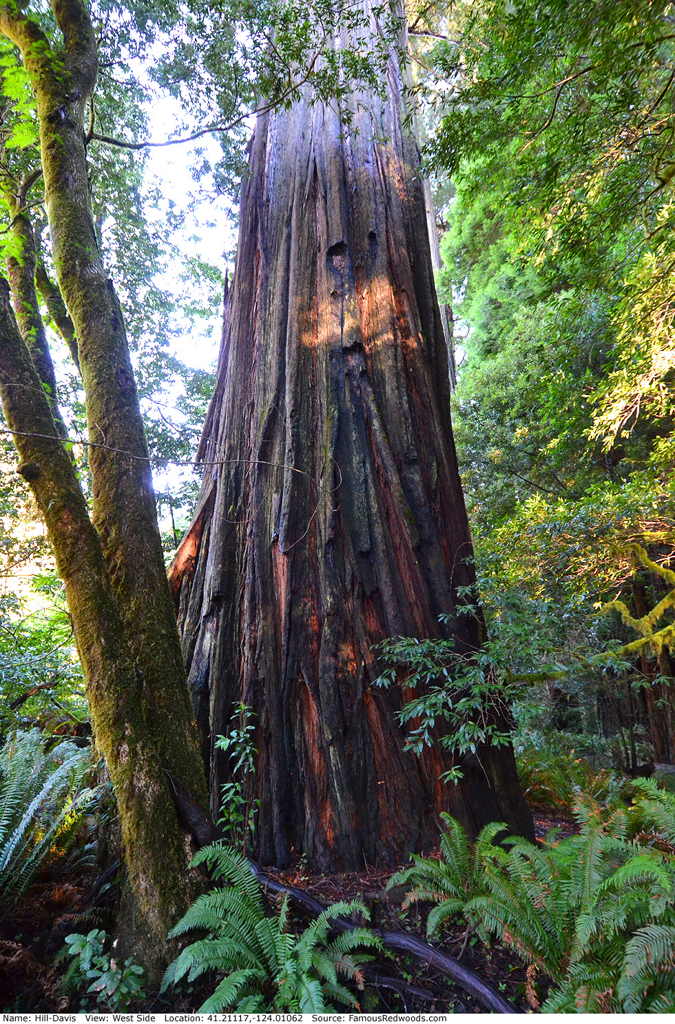
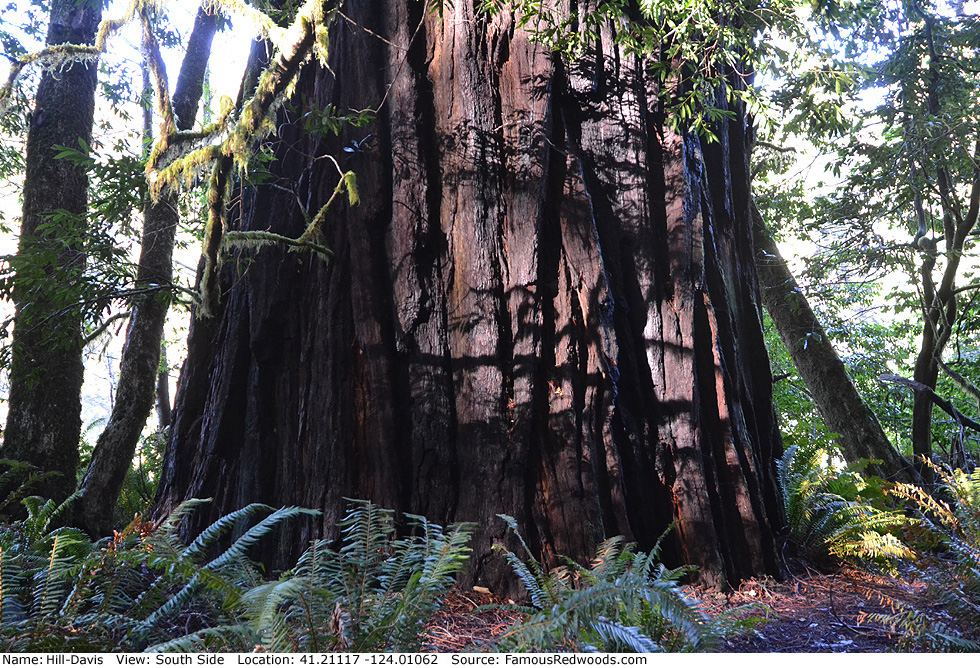
Notes: Hill-Davis, also known as Sixth Tallest Tree (1963), is the 10th tallest tree in Tall Trees Grove. Hill-Davis was named after the Hill-Davis Company, a subsidiary of Weyerhaeuser and parent of Arcata Redwood Company (ARCo), which owned Tall Trees Grove, also known as Arcata Redwood Company (ARCo) Grove of the Giants and Glen of Giants, before Redwood National Park was established on October 2, 1968.
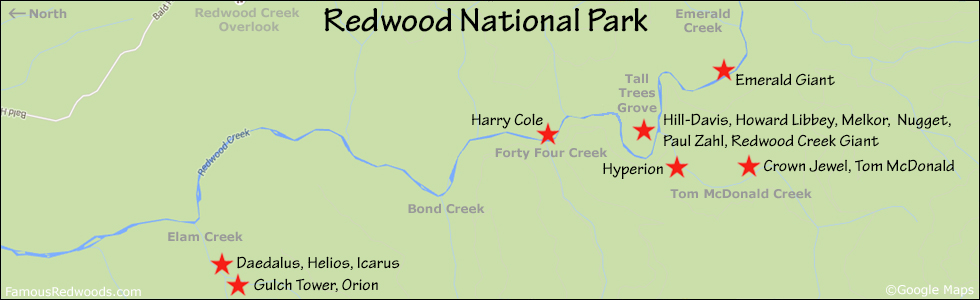
Drive: Hill-Davis is 252 mi (406 km) north of San Francisco near the community of Orick.
From U.S. Highway 101 just north of Orick, turn onto Bald Hills Road and drive 7.0 mi (11.3 km) to the Tall Trees Grove Access Road (locked gate: reservation required). Turn right onto Tall Trees Grove Access Road, unlock the gate using the combination code provided in your reservation confirmation email, and drive south 5.2 mi (8.4 km) on the unpaved road to the Tall Trees trailhead parking lot.
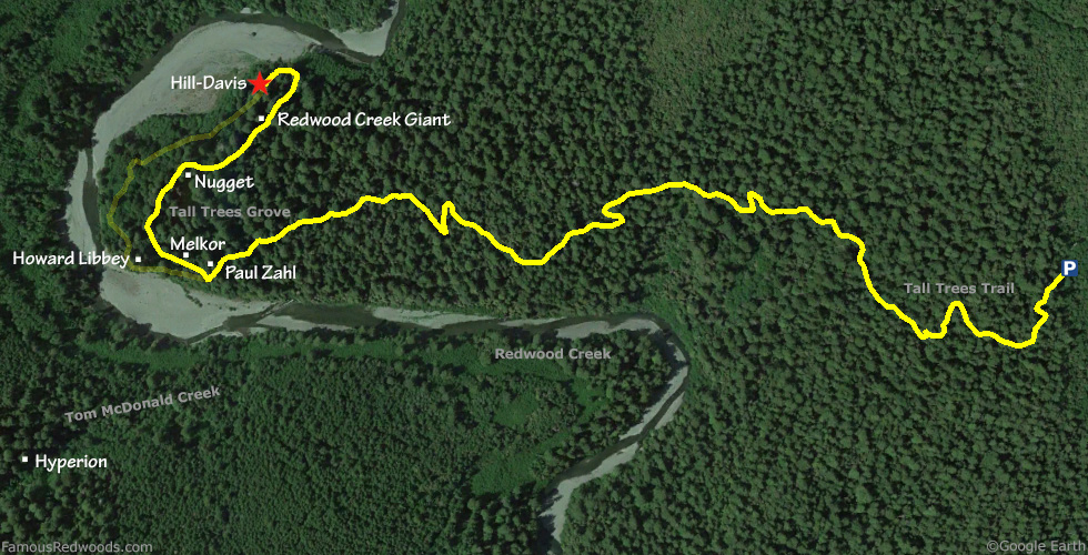
Hike: From the trailhead, hike west/downhill 1.4 mi (2.3 km) on Tall Trees Trail to Tall Trees Grove. Just after you pass to the right of a bench near the creek, turn right/northwest at the southern fork in the Tall Trees Loop trail. In 0.3 mi (0.5 km), veer left/west at the northern fork in the loop trail and hike south 453 ft (138 m) to Hill-Davis located on the right/west side of the trail.
| Rating: | Easy | One-Way Distance: | 1.8 mi | (2.9 km) | Ascent: | 21 ft | (6 m) |
| Time: | 45 min | Off-Trail: | 0 ft | (0 m) | Descent: | 636 ft | (194 m) |
View Hill-Davis Tree location in Google Maps
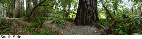
Panorama: Click panorama to take a virtual tour of Hill-Davis Tree
Photos: Pictures of Hill-Davis Tree taken from different sides