| Height: | 362.80+ ft | (110.58+ m) | Elevation: | 116 ft (35 m) | GPS Latitude: | 41.20819 |
| Volume: | Creek: | Redwood Creek | GPS Longitude: | -124.01327 | ||
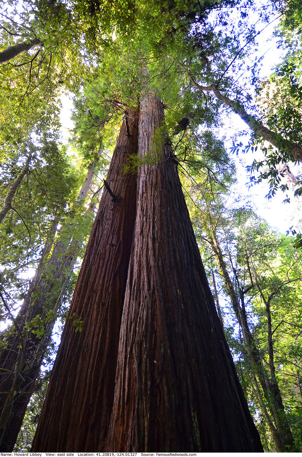
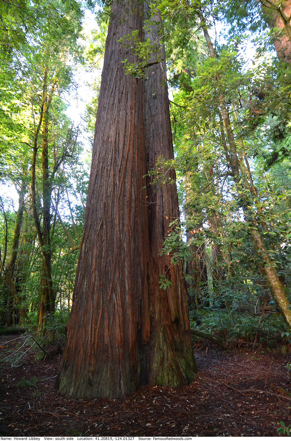
| Width: | 9.50 ft | (2.90 m) | Grove: | Tall Trees Grove | Discovery Date: | 1963 |
| Age: | 600 y | Park: | Redwood NP | Discovered By: | Paul A. Zahl |
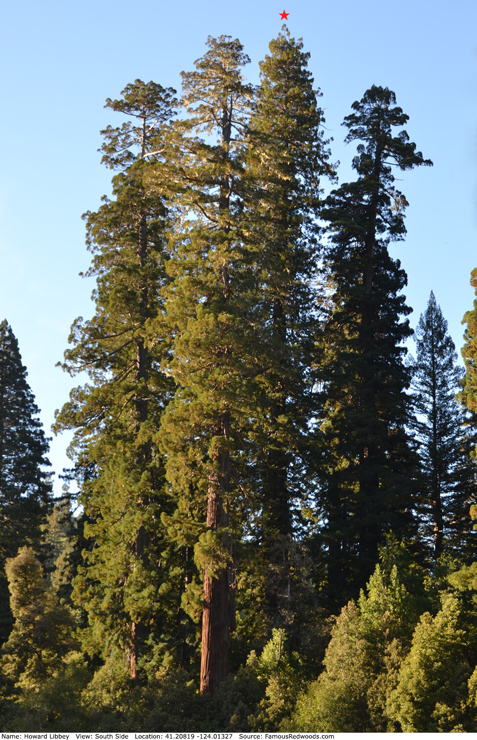
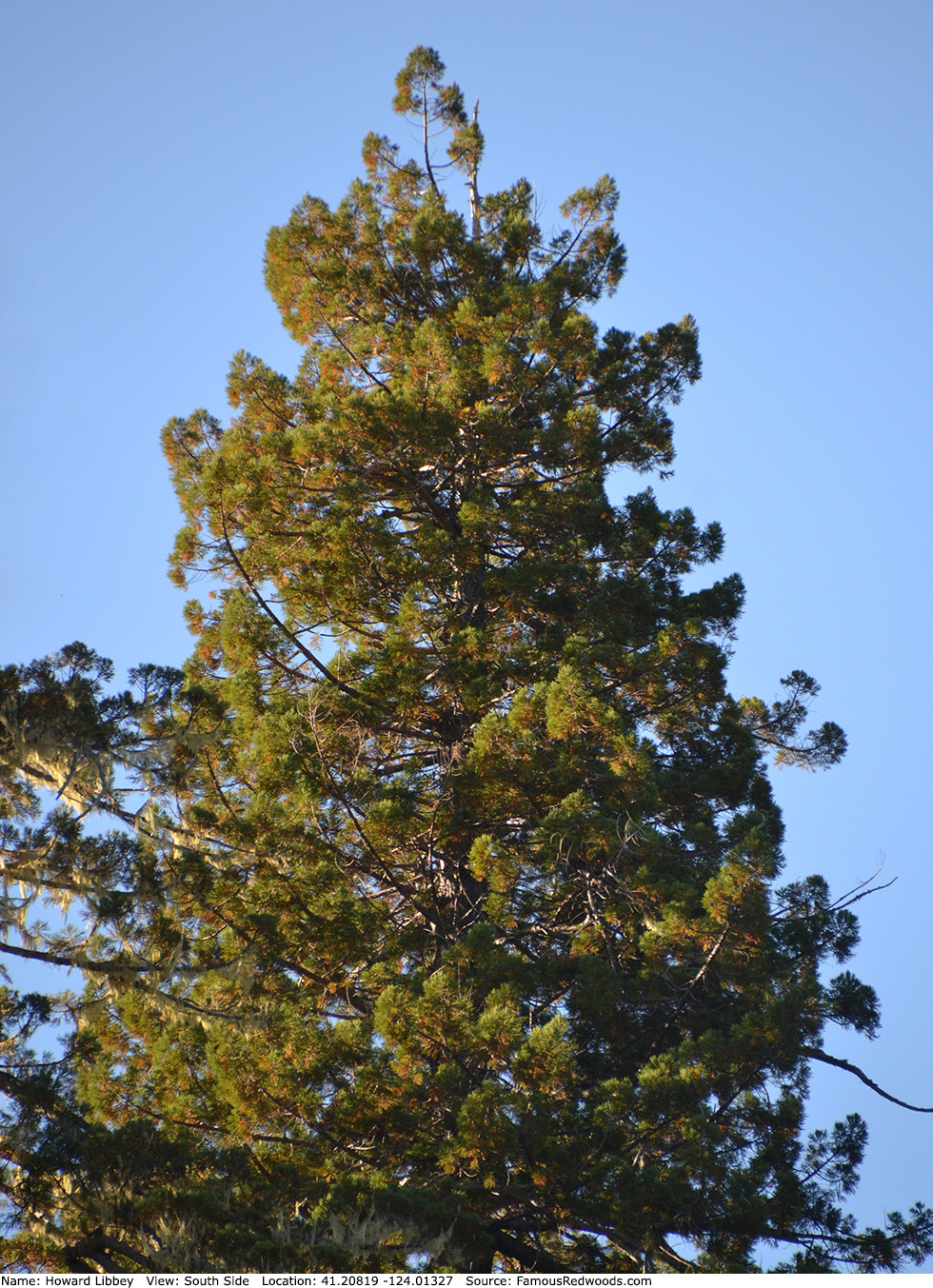
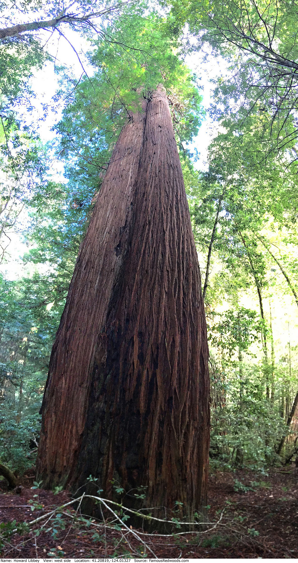
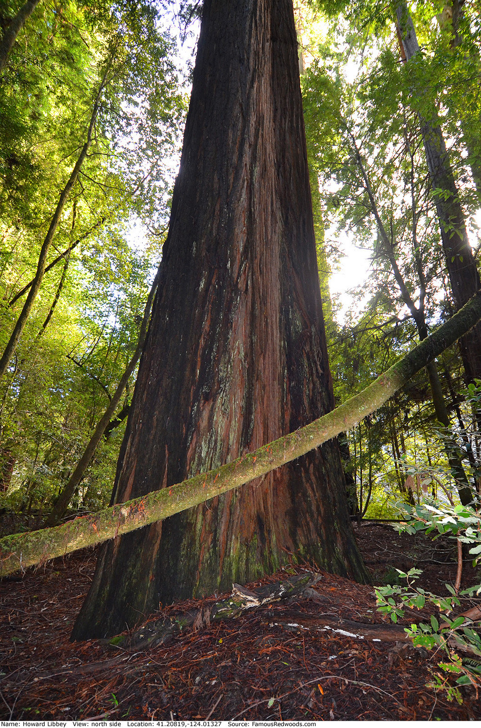
Notes: Howard Libbey, also known as Tall Tree, is the 11th tallest tree in Redwood National Park and the 3rd tallest tree in Tall Trees Grove. Named for Howard A. Libbey, founding president of the Arcata Redwood Company (ARCo), Howard Libbey held the title of world's tallest tree from 1963 until July 1988 when naturalist Ron Hildebrant remeasured Harry Cole in Redwood National Park.
Some claim Howard Libbey lost the uppermost 10 ft (3 m) of its crown during a storm in 1989. Others suggest that the tree lost height gradually from dieback and decades of silt deposition around its trunk. In 1966, Humboldt State University forestry professor Rudolf W. Becking reported that Howard Libbey lost 1.2 ft (0.4 m) in height from silt deposition during a December 1964 flood, but comparison of recent tree photographs to one published in July 1964 (before the flood occurred) suggests that little, if any, accumulated silt remains. Nevertheless, Howard Libbey is now 5.0 ft (1.5 m) shorter than it was in 1963: 367.8 ft (112.1 m).
Howard Libbey appears on the cover of the July 1964 issue of National Geographic magazine
and in an article in the same issue, entitled Finding the Mt. Everest of All Living Things,
which features Howard Libbey (then world's
tallest tree), Harry Cole (then world's
second tallest tree), Nugget (then world's
third tallest tree),
Rockefeller (then world's fourth tallest tree),
Founders (then world's fifth tallest tree),
Hill-Davis (then world's sixth tallest tree),
ARCo Giant, and Chandelier. Unknown at the time, Hyperion
stood just 0.3 mi (0.5 km) away from Howard Libbey along Tom McDonald Creek and may have been almost 6.0 ft (1.8 m) taller than the world's tallest
tree.
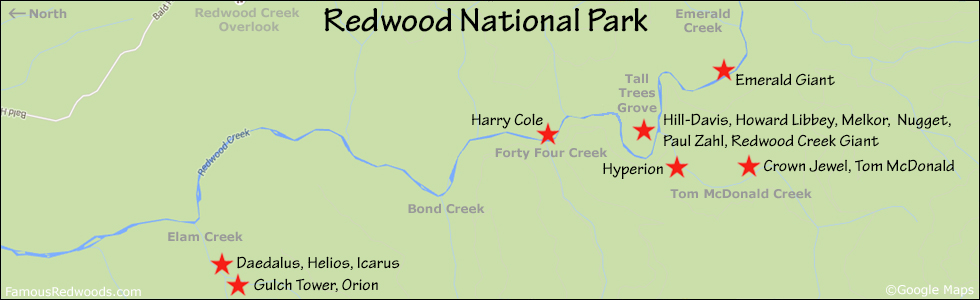
Drive: Howard Libbey is 252 mi (406 km) north of San Francisco near the community of Orick.
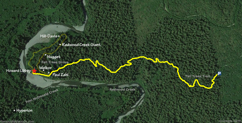
From U.S. Highway 101 just north of Orick, turn onto Bald Hills Road and drive 7.0 mi (11.3 km) to the Tall Trees Grove Access Road (locked gate: reservation required). Turn right onto Tall Trees Grove Access Road, unlock the gate using the combination code provided in your reservation confirmation email, and drive south 5.2 mi (8.4 km) on the unpaved road to the Tall Trees trailhead parking lot.
Hike: From the trailhead, hike west/downhill 1.4 mi (2.3 km) on Tall Trees Trail to Tall Trees Grove. Just after you pass to the right of a bench near the creek, turn left/west at the southern fork in the Tall Trees Loop trail and hike west 500 ft (152 m) to Howard Libbey located on the right/north side of the trail about 30 ft (9 m) behind a wooden fence.
| Rating: | Easy | One-Way Distance: | 1.5 mi | (2.4 km) | Ascent: | 21 ft | (6 m) |
| Time: | 35 min | Off-Trail: | 30 ft | (9 m) | Descent: | 636 ft | (194 m) |
View Howard Libbey Tree location in Google Maps
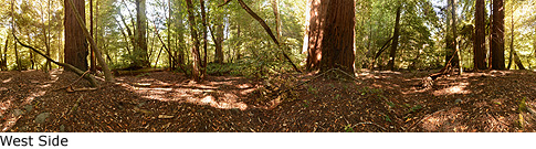
Panorama: Click panorama to take a virtual tour of Howard Libbey Tree
Photos: Pictures of Howard Libbey Tree taken from different sides