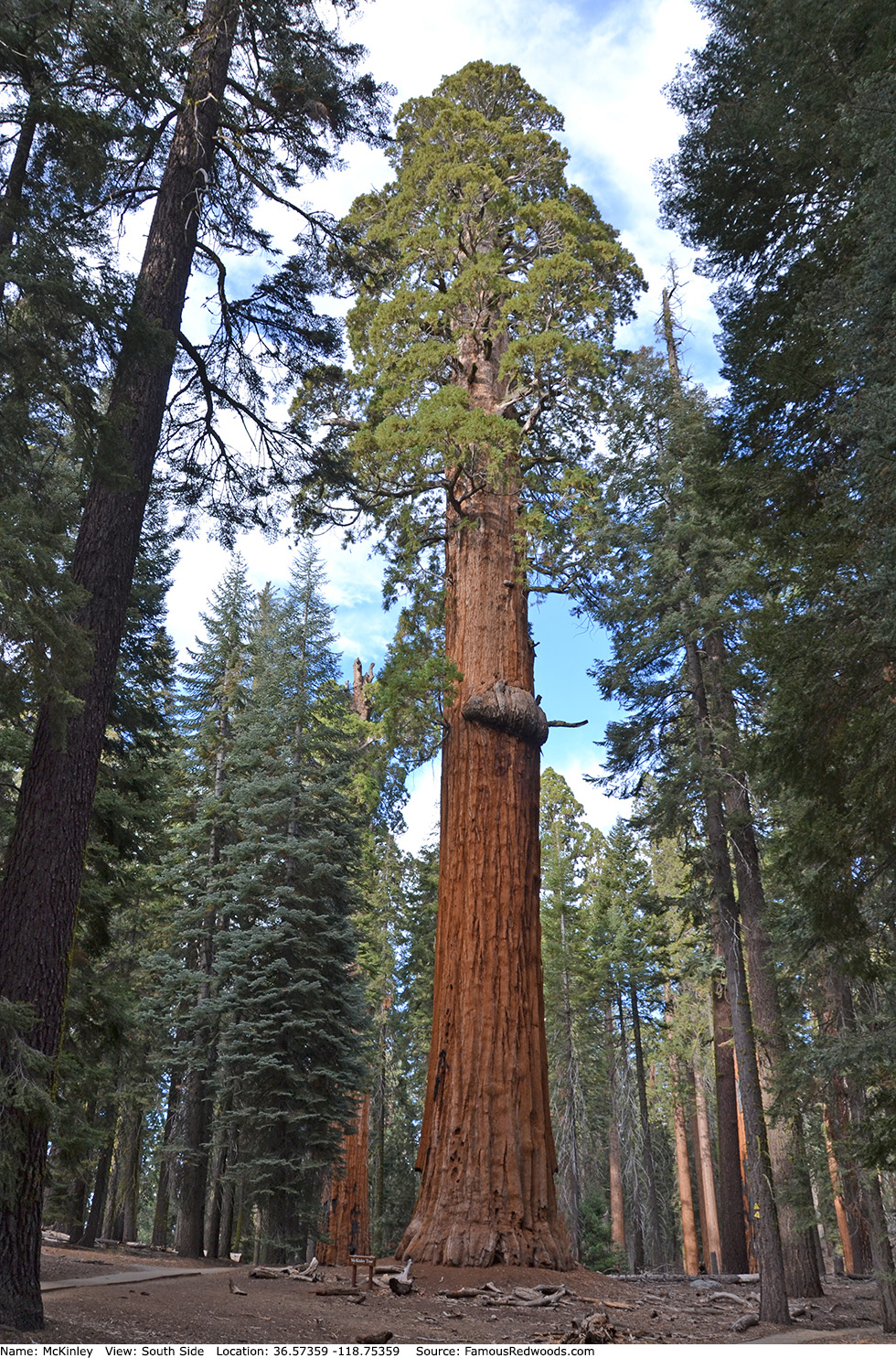
| Height: | 240.00+ ft | (73.15+ m) | Elevation: | 6,966 ft (2,123 m) | GPS Latitude: | 36.57359 |
| Volume: | 26,250 ft3 | (743 m3) | Creek: | Little Deer Creek | GPS Longitude: | -118.75359 |
| Width: | 18.30 ft | (5.58 m) | Grove: | Giant Forest | Discovery Date: | |
| Age: | Park: | Sequoia NP | Discovered By: |
Notes: McKinley is the 28th largest tree in Giant Forest. In 1901, Sequoia National Park road foreman (later ranger, chief ranger, and superintendent) Walter Fry named the tree to honor William McKinley, the 25th President of the United States, who had been assassinated on September 14, 1901.
Drive: McKinley is 218 mi (351 km) southeast of San Francisco near Fresno.
Northbound: From U.S. Interstate 5 North, transfer to California State Route 99 North toward Bakersfield. Drive north 97 mi (156 km) on California State Route 99 and transfer to California State Route 198 East toward Visalia. Drive east 58 mi (93 km) on California State Route 198 (Generals Highway), past Four Guardsmen, and turn left into the Pinewood Picnic Area parking lot.
Southbound: From U.S. Interstate 5 South in Sacramento, transfer to U.S. Highway 50 East toward South Lake Tahoe. Drive east 1.7 mi (2.7 km) on U.S. Highway 50 and transfer to California State Highway 99 South. Near Fresno, transfer to California State Route 180 East. Drive east 56 mi (90 km) on California State Route 180, and turn right onto California State Route 198 West. Drive south 28 mi (45 km) on California State Route 198 (Generals Highway) and turn right into the Pinewood Picnic Area parking lot.

Hike: From the parking lot, walk south across California State Route 198 (Generals Highway) to an unpaved road marked
Authorized Vehicles Only.
Hike south/uphill 0.2 mi (0.3 km) on the unpaved road to the junction with Rimrock Trail. Turn left at the trail
junction and hike east 0.7 mi (1.1 km) on Rimrock Trail to Lincoln near the
junction with Alta Trail. Turn left at the trail junction and hike northeast 0.2 mi (0.3 km) to
McKinley trail junction. Turn left at the trail junction and hike north 100 ft (30 m) on Congress Trail to McKinley which stands beside the trail on your
right. After visiting McKinley, hike north 220 ft (67 m) on Congress Trail to Near McKinley which stands beside the trail on your right.
| Rating: | Easy | One-Way Distance: | 1.1 mi | (1.8 km) | Ascent: | 587 ft | (179 m) |
| Time: | 30 min | Off-Trail: | 0 ft | (0 m) | Descent: | 219 ft | (67 m) |
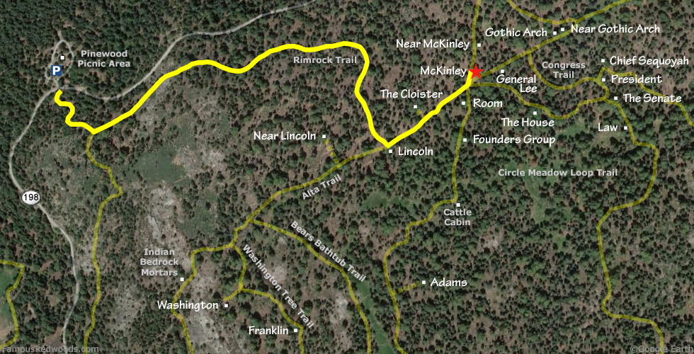
View McKinley Tree location in Google Maps
Panorama: Click panorama to take a virtual tour of McKinley Tree
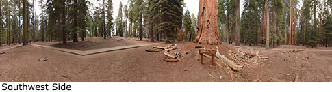
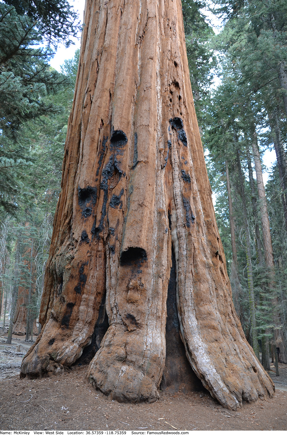
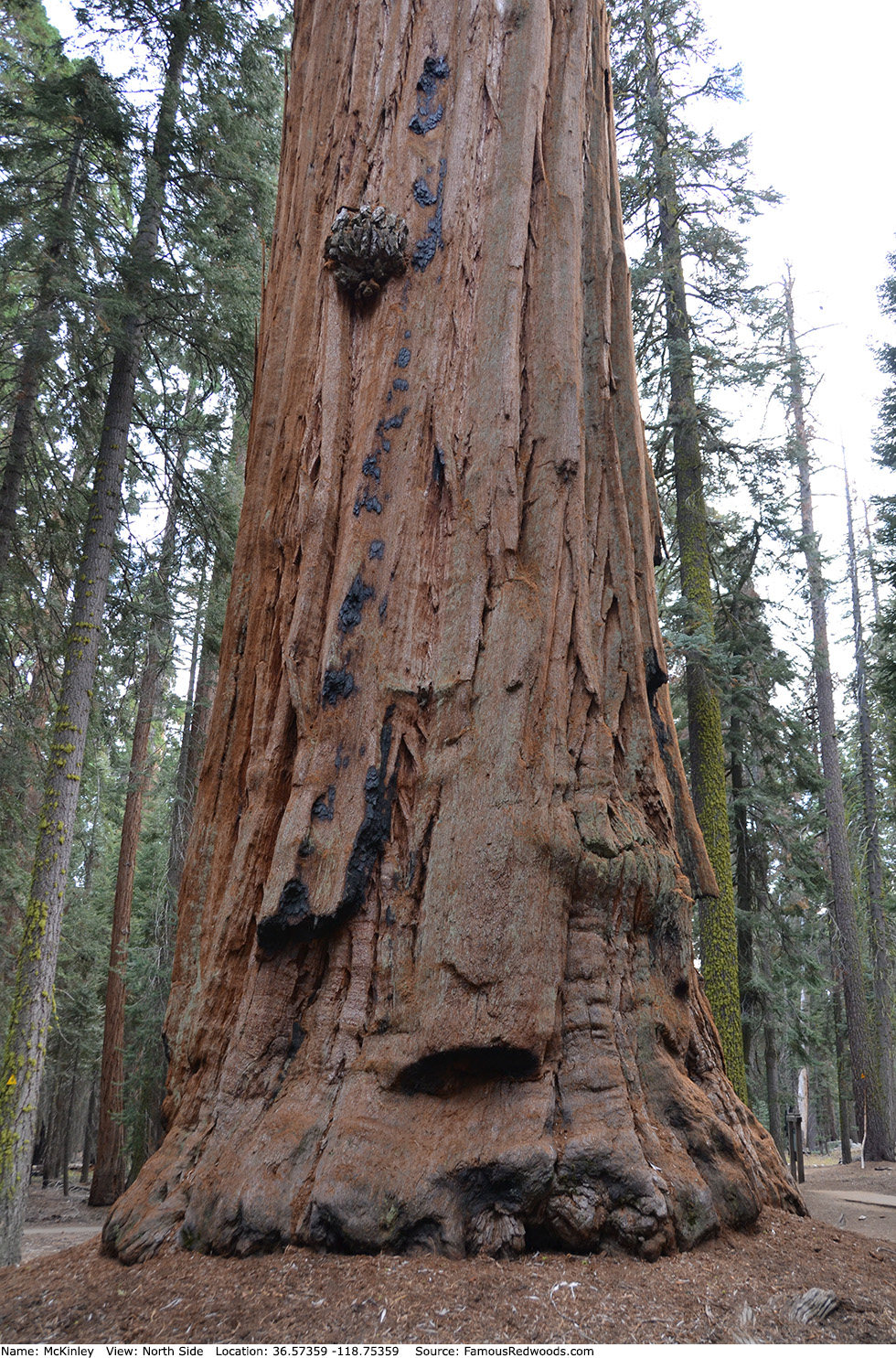
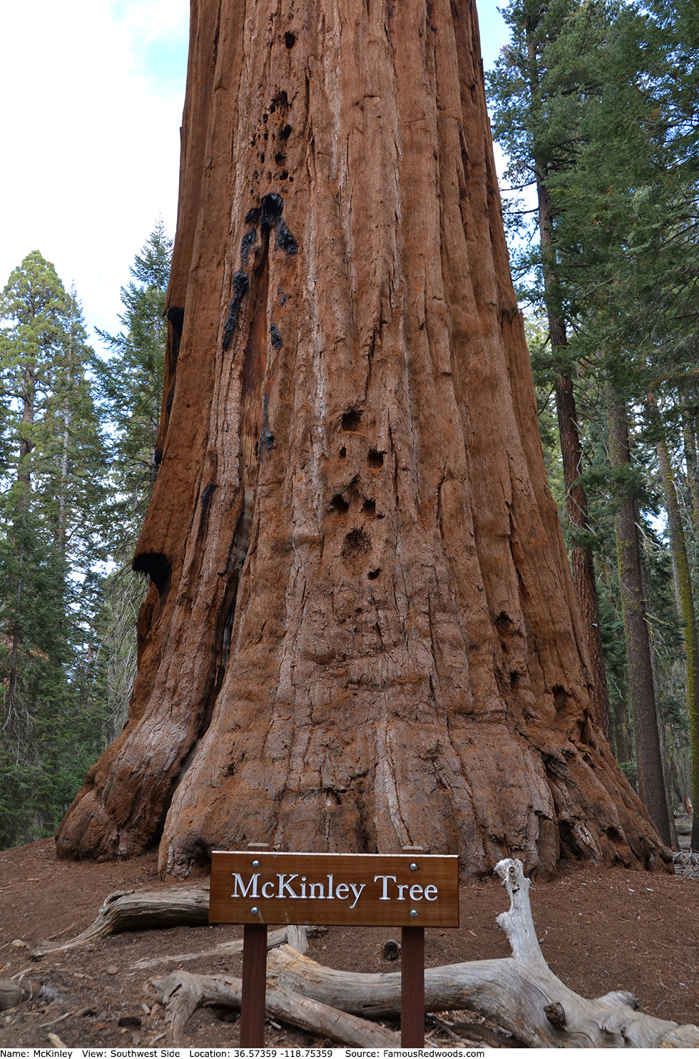
Photos: Pictures of McKinley Tree taken from different sides