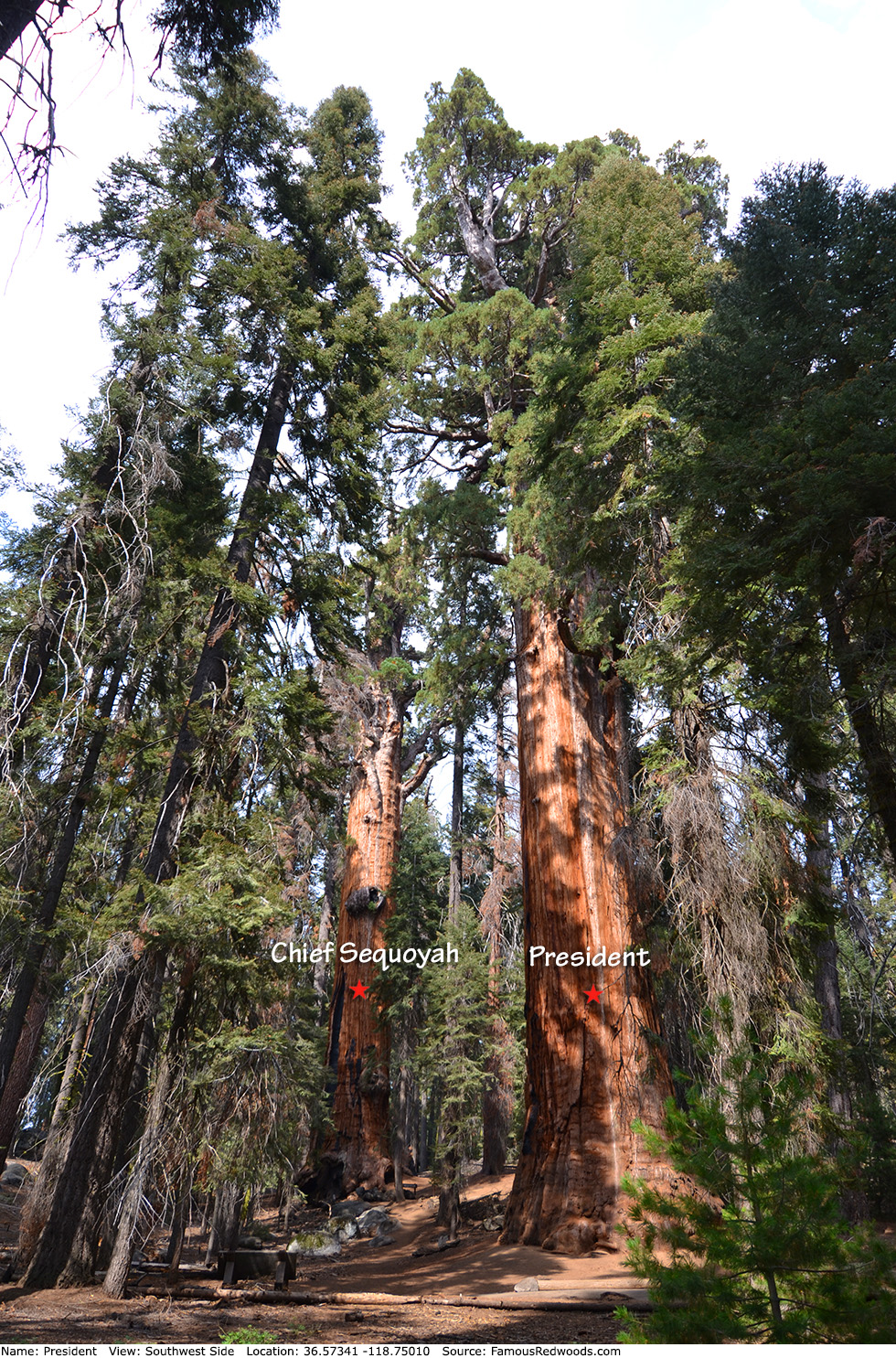
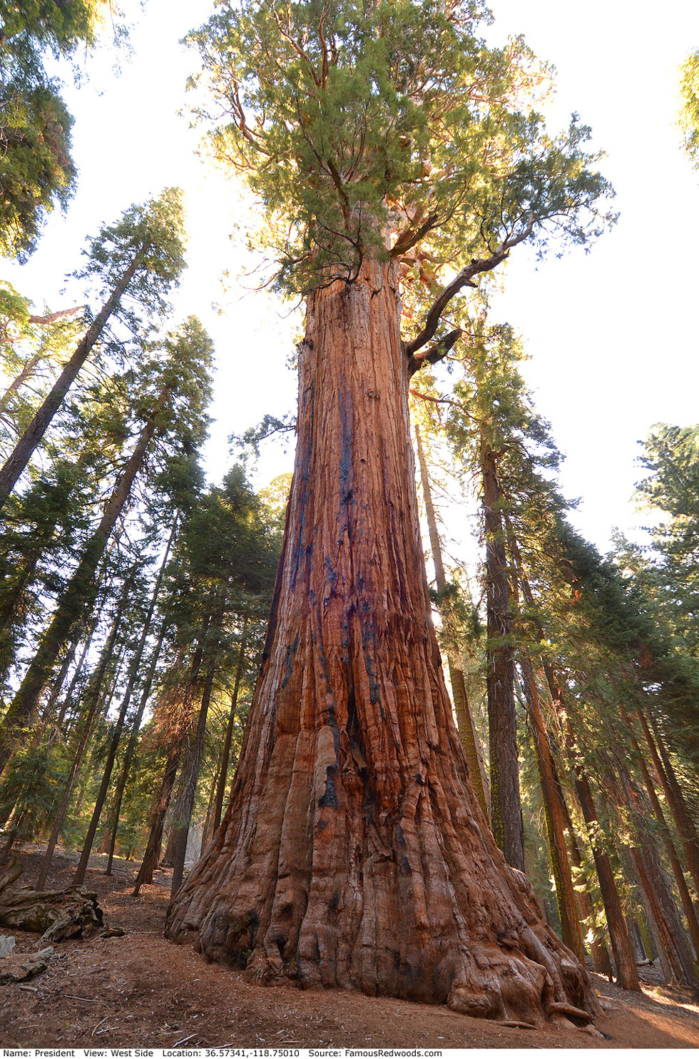
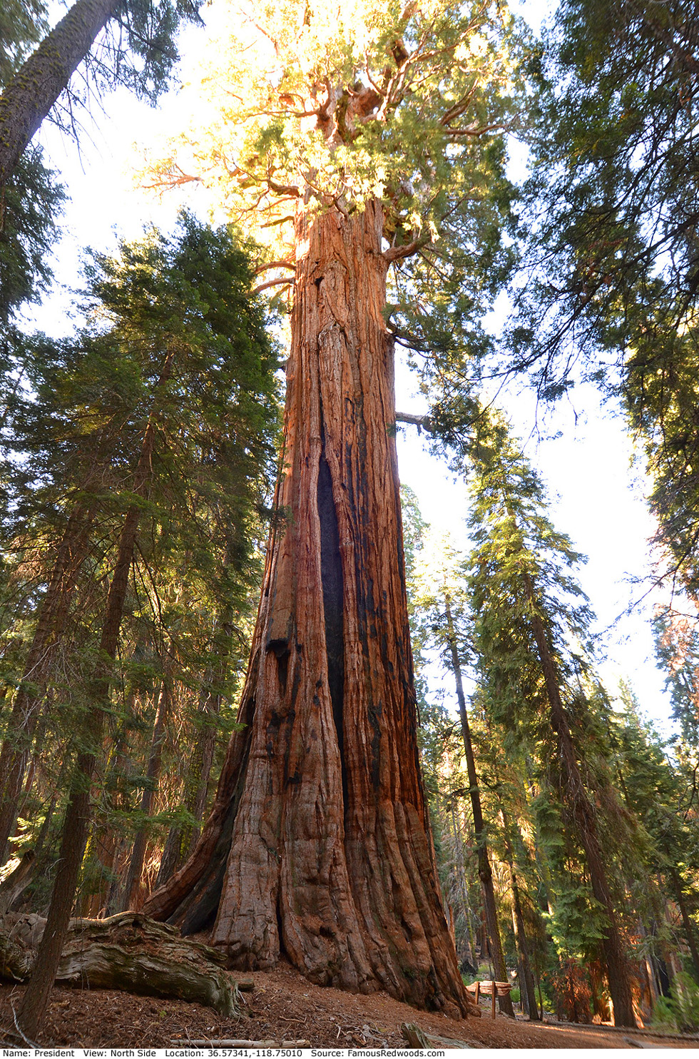
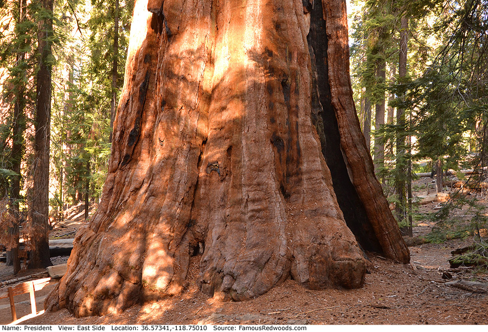
| Height: | 246.62+ ft | (75.17+ m) | Elevation: | 7,040 ft (2,146 m) | GPS Latitude: | 36.57341 |
| Volume: | 44,567 ft3 | (1,262 m3) | Creek: | Little Deer Creek | GPS Longitude: | -118.75010 |
| Width: | 25.54 ft | (7.78 m) | Grove: | Giant Forest | Discovery Date: | |
| Age: | 3,312 y | Park: | Sequoia NP | Discovered By: |
Notes: President, also known as Warren Harding Tree, is the world's 5th largest tree, the 4th largest giant redwood, the 3rd largest tree in Sequoia National Park, the 3rd largest tree in Giant Forest, and the oldest living redwood.
On August 10, 1923, Sequoia National Park superintendent Colonel John R. White dedicated the tree to honor Warren G. Harding, the 29th President of the United States, who had
died eight days earlier. During the dedication, Colonel White declared that
the colossal redwood will grow stronger and greater and will stand as a monument to our late President when the pyramids and granite shafts have crumbled to dust.
President has the largest crown, 746,093 ft3 (21,127 m3), of any giant redwood yet measured and contains nearly two billion leaves and more than eighty thousand cones. The main trunk is dead above 203 ft (62 m) where it is still 10.14 ft (3.09 m) wide.
The December 2012 issue of National Geographic magazine includes a composite photograph of President. The National Geographic Live! program Super Trees: Climbing a Giant Sequoia documents the photograph production. University of Washington forestry affiliate assistant professor Robert Van Pelt published an orthographic illustration of President (shown at right).
President is directly in the path of the May 3, 2106 total solar eclipse.
Drive: President is 218 mi (351 km) southeast of San Francisco near Fresno.
Northbound: From U.S. Interstate 5 North, transfer to California State Route 99 North toward Bakersfield. Drive north 97 mi (156 km) on California State Route 99 and transfer to California State Route 198 East toward Visalia. Drive east 58 mi (93 km) on California State Route 198 (Generals Highway), past Four Guardsmen, and turn left into the Pinewood Picnic Area parking lot.
Southbound: From U.S. Interstate 5 South in Sacramento, transfer to U.S. Highway 50 East toward South Lake Tahoe. Drive east 1.7 mi (2.7 km) on U.S. Highway 50 and transfer to California State Highway 99 South. Near Fresno, transfer to California State Route 180 East. Drive east 56 mi (90 km) on California State Route 180, and turn right onto California State Route 198 West. Drive south 28 mi (45 km) on California State Route 198 (Generals Highway) and turn right into the Pinewood Picnic Area parking lot.

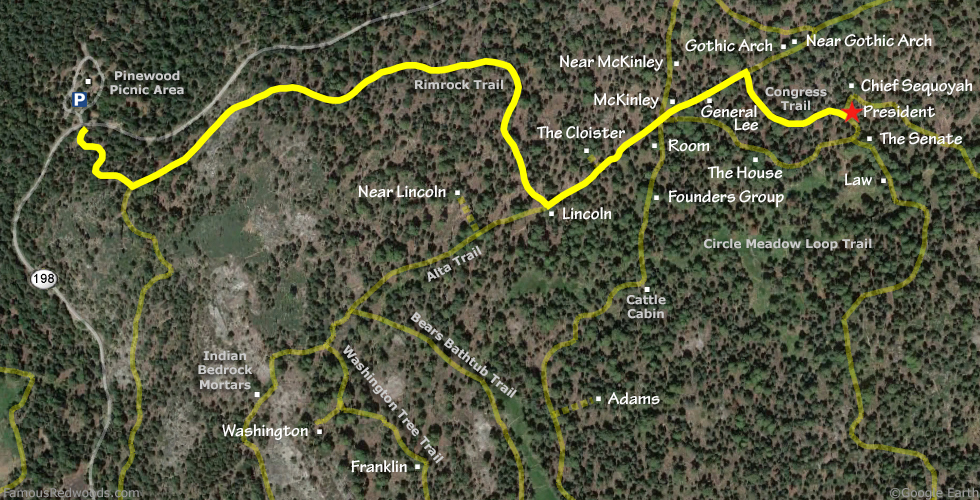
Hike: From the parking lot, walk south across California State Route 198 (Generals Highway) to an unpaved road marked
Authorized Vehicles Only.
Hike south/uphill 0.2 mi (0.3 km) on the unpaved road to the junction with Rimrock Trail. Turn left at the trail
junction and hike east 0.7 mi (1.1 km) on Rimrock Trail to Lincoln near the
junction with Alta Trail. Turn left at the trail junction and hike northeast 0.3 mi (0.4 km) on Alta Trail, through
McKinley Junction and past McKinley and
General Lee, to the second junction with Congress Trail. Turn right at the trail junction and
hike east 0.2 mi (0.5 km) on Congress Trail to President which stands beside the trail on your left.
| Rating: | Easy | One-Way Distance: | 1.4 mi | (2.3 km) | Ascent: | 813 ft | (248 m) |
| Time: | 40 min | Off-Trail: | 0 ft | (0 m) | Descent: | 341 ft | (104 m) |
View President Tree location in Google Maps
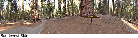
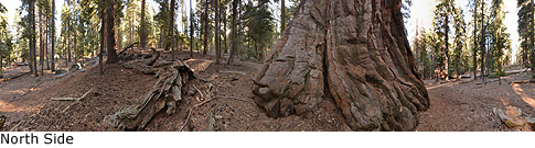
Panoramas: Click panoramas to take a virtual tour of President Tree
Photos: Pictures of President Tree taken from different sides