
| Height: | 255.00 ft | (77.72 m) | Elevation: | 6,949 ft (2,118 m) | GPS Latitude: | 36.57315 |
| Volume: | 30,055 ft3 | (851 m3) | Creek: | Little Deer Creek | GPS Longitude: | -118.75272 |
| Width: | 21.40 ft | (6.52 m) | Grove: | Giant Forest | Discovery Date: | |
| Age: | Park: | Sequoia NP | Discovered By: |
Notes: Honeycomb is the 28th largest tree in Sequoia National Park and the 21st largest tree in Giant Forest.
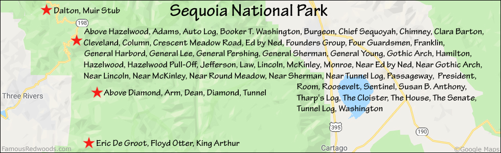
Nearby famous redwoods include Above HazelwoodAdamsAuto LogBooker T. WashingtonBurgeonChief SequoyahChimneyClara BartonClevelandColumnCrescent Meadow RoadDaltonEd by NedFounders GroupFour GuardsmenFranklinGeneral HarbordGeneral LeeGeneral PershingGeneral ShermanGeneral YoungGothic ArchHamiltonHazelwoodHazelwood Pull-OffJeffersonLawLincolnMcKinleyMonroeMuir StubNear Ed by NedNear Gothic ArchNear LincolnNear McKinleyNear Round MeadowNear ShermanNear Tunnel LogPassagewayPresidentRoomRooseveltSentinelSusan B. AnthonyTharp's LogThe CloisterThe HouseThe SenateTunnel LogWashington
Drive: Honeycomb is 218 mi (351 km) southeast of San Francisco near Fresno.
Northbound: From U.S. Interstate 5 North, transfer to California State Route 99 North toward Bakersfield. Drive north 97 mi (156 km) on California State Route 99 and transfer to California State Route 198 East toward Visalia. Drive east 58 mi (93 km) on California State Route 198 (Generals Highway), past the Sequoia National Park entrance station (entrance fee required) and Four Guardsmen, and turn left into the Pinewood Picnic Area parking lot.


Southbound: From U.S. Interstate 5 South in Sacramento, transfer to U.S. Highway 50 East toward South Lake Tahoe. Drive east 1.7 mi (2.7 km) on U.S. Highway 50 and transfer to California State Highway 99 South. Near Fresno, transfer to California State Route 180 East. Drive east 56 mi (90 km) on California State Route 180, past the Kings Canyon National Park entrance station (entrance fee required), and turn right onto California State Route 198 West. Drive south 28 mi (45 km) on California State Route 198 (Generals Highway) and turn right into the Pinewood Picnic Area parking lot.


Hike: From the parking lot, walk south across California State Route 198 (Generals Highway) to an unpaved road marked
Authorized Vehicles Only.
Hike south/uphill 0.2 mi (0.3 km) on the unpaved road to the junction with Rimrock Trail. Turn left at the trail
junction and hike east 0.7 mi (1.1 km) on Rimrock Trail to Lincoln near the
junction with Alta Trail. Turn left at the trail junction and hike northeast 0.2 mi (0.3 km) on Alta Trail to
McKinley trail junction. Veer right at the trail junction and hike east 0.1 mi (0.5 km) on Congress Trail to Honeycomb
which stands beside the trail on your right.


| Rating: | Easy | One-Way Distance: | 1.2 mi | (1.9 km) | Ascent: | 627 ft | (191 m) |
| Time: | 35 min | Off-Trail: | 0 ft | (0 m) | Descent: | 290 ft | (88 m) |

View Honeycomb Tree location in Google Maps
Panorama: Click panorama to take a virtual tour of Honeycomb Tree

Photos: Pictures of Honeycomb Tree taken from different sides


